What is recorded here
No visible stones remain, yet the L-shaped depression inside the western half of the Moanmore rath still measures ten metres long and six metres wide, suggesting a buried passage rather than a random hole. People may have cut through living rock, dragged soil away and sealed the entrance with earth, then forgotten the address of their own work. The rath kept the shape of the absence, waiting for someone curious enough to listen for the missing room.
Within the W half of a rath (GA105-159----). An L-shaped depression may mark the site of a collapsed Man-made underground passage. The long axis (L 10m) runs N-S and the short axis (L 6m; Wth 1.6m; D 1m) extends off its SE end and runs E-W. No stonework is visible.
Compiled by: Galway Archaeological Survey, UCG
Date of upload: 20 February 2018
The monument record does not grant public access. Check the route and ask the landowner before entering private land.
- What survives
- Recorded monument
Places near here
 RahannagroaghFairy fort / earthen ringfort · 754 yd
 Doon HillFairy fort / earthen ringfort · 853 yd
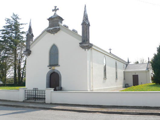 Saint Mary's Catholic Churchchurch/chapel · 1.3 mi
 R.C. Chapel and School Ho.Chapel · 1.3 mi
 Ballynamantragh CastleCastle, unclassified · 1.5 mi
 Stone Islands SouthIslet · 1.6 mi
 Long PointHeadland · 1.7 mi
 Island McCooIslet · 1.9 mi
 Castle (in ruins)Castle, tower house · 2.6 mi
 Dartfield Horse MuseumHeritage attraction · 3.5 mi
 Turoe StoneHeritage attraction · 5.2 mi
 Scalpeen RockNamed rock · 5.7 mi