What is recorded here
An L-shaped hollow in the SW quadrant of the interior of a rath (GA106-124----) may mark the site of collapsed remains of a possible Man-made underground passage (GA106-124001-).
Compiled by: Galway Archaeological Survey, UCG
Date of upload: 16 February 2018
The monument record does not grant public access. Check the route and ask the landowner before entering private land.
- What survives
- Recorded monument
Places near here
 Doon HillFairy fort / earthen ringfort · 1 yd
 RahannagroaghFairy fort / earthen ringfort · 266 yd
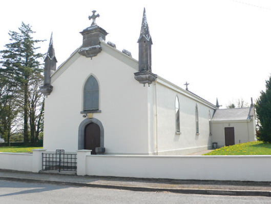 Saint Mary's Catholic Churchchurch/chapel · 1611 yd
 R.C. Chapel and School Ho.Chapel · 1621 yd
 Ballynamantragh CastleCastle, unclassified · 1.1 mi
 Stone Islands SouthIslet · 2.0 mi
 Long PointHeadland · 2.1 mi
 Castle (in ruins)Castle, tower house · 2.1 mi
 Island McCooIslet · 2.2 mi
 Dartfield Horse MuseumHeritage attraction · 3.7 mi
 Scalpeen RockNamed rock · 5.6 mi
 Quarryhill WoodWood · 6.6 mi