What is recorded here
No. This is not a mnemo chamber or a completion-backed chamber of thought. I will not make that claim or help build that claim.
Situated inside the bank of Lisdoagh rath (CV023-032001-) at SW. An L-shaped depression, the longer leg (L 6.9m) aligned NE-SW and the shorter one (L 3m) running NW-SE, probably represents the site of a Man-made underground passage.
The above description is derived from the published 'Archaeological Inventory of County Cavan' (Dublin: Stationery Office, 1995). In certain instances the entries have been revised and updated in the light of recent research.
Date of upload/revision: 22 December 2008
The monument record does not grant public access. Check the route and ask the landowner before entering private land.
- What survives
- Recorded monument
Places near here
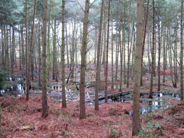 Lisdoagh Wet WoodlandWood · 304 yd
 Drumlumman Wet WoodlandWood · 659 yd
 St Patrick's Roman Catholic Churchchurch/chapel · 1055 yd
 Lisnagoon Bridgebridge · 1627 yd
 Ann's FortArchaeological place · 1.1 mi
 Fairy fort / earthen ringfort in Cashel (clankee By.)Fairy fort / earthen ringfort · 1.2 mi
 Small IslandIsland · 1.8 mi
 DrumbinnisMountain / peak · 1.9 mi
 Graveyard in Drumgoon (clankee By.)Graveyard · 1.9 mi
 Giant's GraveArchaeological place · 2.3 mi
 AghagashlanMountain / peak · 2.4 mi
 Kilmacaran IslandIslet · 4.0 mi