What is recorded here
No visible trace remains of the man-made underground passage in Laravoolta, though it once held two or more chambers and a passage within the ringfort. Earth cut and stone building combined to shape a hidden space where people may have stored goods, avoided storms or kept secrets from above. Forgetting has erased its entrance, but the shape still belongs to human hands and remains part of the local landscape.
In ringfort (095-05601-). According to McCarthy (1977, 368) this Man-made underground passage is mainly earth cut but with some stone building and consists of 2 or more chambers and a passage. No visible trace.
The above description is derived from the published 'Archaeological Inventory of County Cork. Volume 1: West Cork' (Dublin: Stationery Office, 1992). In certain instances the entries have been revised and updated in the light of recent research.
Date of upload/revision: 14 January 2009
This remains an important historical record, but the official description says the monument is no longer visible or has been destroyed. The monument record does not grant public access. Check the route and ask the landowner before entering private land.
- What survives
- No visible remains or recorded as destroyed
Places near here
 Kill Burial Ground (Disused)Burial ground · 618 yd
 IndicatedFairy fort / earthen ringfort · 1037 yd
 KilnKiln, lime · 1.1 mi
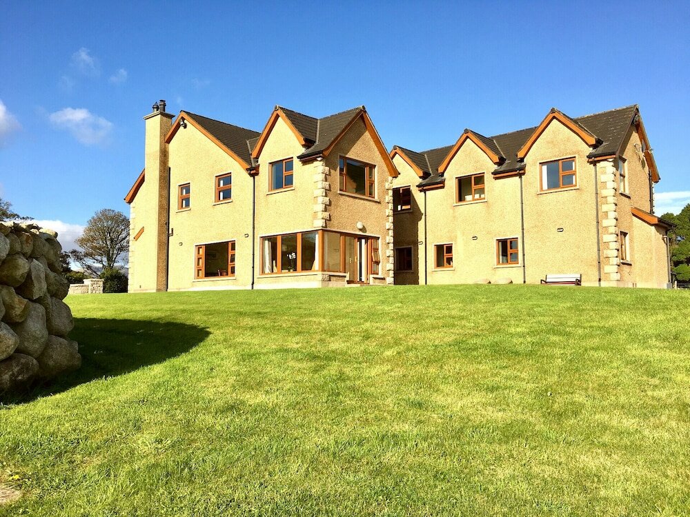 Country house in KillaneerCountry house · 1.2 mi
 Green HillMountain / peak · 2.0 mi
 Castle RockNamed rock · 3.3 mi
 The GlenWood · 3.8 mi
 Michael Collins MemorialMemorial · 4.0 mi
 Towers (in Ruins)House, fortified house · 4.3 mi
 Tobar MacloonaboySpring · 4.4 mi
 Castle DerryCastle · 4.5 mi
 Irish National Forestry FoundationNature reserve · 4.5 mi