What is recorded here
Situated on a slight rise of rock outcrop on a W-facing slope and in the W part of the interior of cashel (LE007-019----). Inside the inner wall of the cashel there is a grass and scrub-covered stony trench (Wth 2.5m; L 8m; D 0.3-0.5m) extending E towards the centre. No displaced lintels or walling can be seen and nor is there a spoil heap but it may be a Man-made underground passage.
Compiled by: Michael Moore
Date of upload: 8 September 2020
The monument record does not grant public access. Check the route and ask the landowner before entering private land.
- What survives
- Recorded monument
Places near here
 Kilroosk RockNamed rock · 755 yd
 RC ChapelChurch · 911 yd
 Noti ndicatedFairy fort / earthen ringfort · 1023 yd
 LisnabrackFairy fort / earthen ringfort · 1230 yd
 Ashisland WoodForest · 1.3 mi
 Longhill WoodForest · 1.5 mi
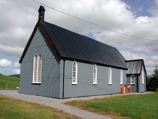 Lurganboy Church (Killasnet)church/chapel · 2.0 mi
 Saddle HillMountain / peak · 2.6 mi
 Agow TopMountain / peak · 2.7 mi
 Castle CarCastle · 2.7 mi
 Giants RockNamed rock · 3.0 mi
 Fowley's FallsPicnic place · 3.7 mi