What is recorded here
Underground chambers in Gortnacowly appeared when a horse's leg sank during ploughing, revealing rooms and a northward tunnel large enough for a person to stand inside. A school teacher and his pupils went down to find drystone walls and a second chamber ten feet long, while local memory pointed to a lost ringfort above. The passage closed before it could be measured twice, and the exact spot vanished from the field, leaving only the shape of what the earth had hidden.
Discovered March 1941. Earth cut. Closed prior to inspection. (UCC).Myler (1998, 66) records that a Man-made underground passage was discovered here 'when a horse's leg sank during ploughing in 1938/39'. He also recorded that 'there is a tradition of a ringfort in this area'. Upon inspection by a local school teacher and his pupils they found a 'room which had a tunnel going north from it into another room measuring 10 ft. by 6ft. and high enough to stand in. There were drystone walls on some of the tunnel walls'. Myler (1998, 66) finally notes that 'there is now no evidence of its exact location'.
The above description is derived from the published 'Archaeological Inventory of County Cork. Volume 1: West Cork' (Dublin: Stationery Office, 1992). In certain instances the entries have been revised and updated in the light of recent research.
Date of upload/revision: 24 January 2013
The monument record does not grant public access. Check the route and ask the landowner before entering private land.
- What survives
- Recorded monument
Places near here
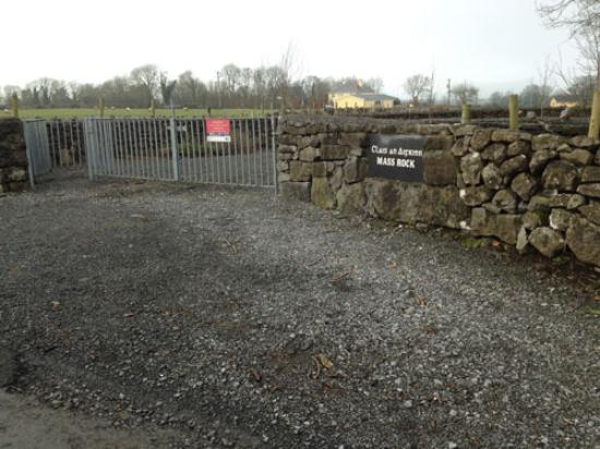 Mass-rock in Ardrah (bantry By.)Mass-rock · 580 yd
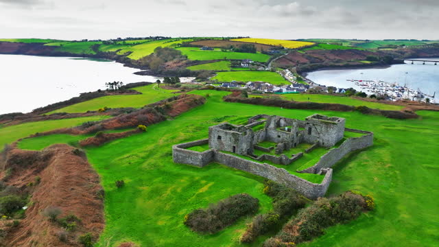 Enclosure in Ardrah (bantry By.)Enclosure · 1010 yd
 Mullach MéiseMountain / peak · 1.6 mi
 St Finbarr's Pilgrim RouteWalking route · 1.8 mi
 Carding MillMill, carding · 1.9 mi
 MillMill, fulling · 1.9 mi
 Kealkill stone circleVisitor information · 1.9 mi
 Carriganass CastleCastle · 2.6 mi
 Nowen Hill SW TopMountain / peak · 3.2 mi
 Castle Donovan (in Ruins)Castle, tower house · 3.4 mi
 Francis O'Neill PlaqueMemorial · 3.9 mi
 Delish Cascade WalkWalking route · 4.2 mi