What is recorded here
In the SE quadrant of a hut site (CO103-028005), the most westerly of a pair of conjoined huts. A D-shaped opening (Wth 1.2m; H 0.4m) in the inner face of the enclosing bank of the hut site leads, according to local information, to an 'underground passage'. The opening is now closed up with stones.
The above description is derived from 'The Archaeological Inventory of County Cork. Volume 5' (Dublin: Stationery Office, 2009).
Date of upload: 22 December 2009
The monument record does not grant public access. Check the route and ask the landowner before entering private land.
- What survives
- Recorded monument
Places near here
 Hut site in GlenloughHut site · 101 yd
 Nareera South-West TopMountain / peak · 911 yd
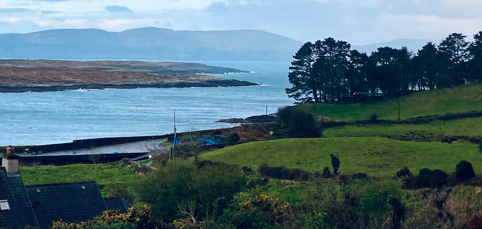 Nareera North TopMountain / peak · 1130 yd
 ToberabanahaWedge tomb · 1211 yd
 RoadRoad, unclassified togher · 1.1 mi
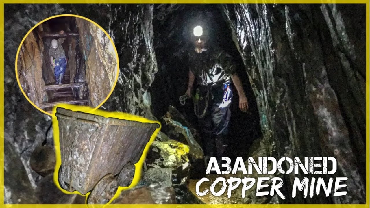 MineMine, copper · 1.4 mi
 Old Stone CottagesHeritage attraction · 2.2 mi
 Hungry Hill GalleryGallery · 2.8 mi
 Graveyard in DrumlaveGraveyard · 3.0 mi
 Mehal HeadHeadland · 3.3 mi
 Orthon's IslandIslet · 3.3 mi
 Shot HeadHeadland · 3.3 mi