What is recorded here
Located in improved pasture/silage, on a gentle S-facing slope. A possible Man-made underground passage was noted here in November 2003. The visible remains consisted of a horizontally-set slab (L c. 0.8m; T c. 0.1-0.5m) which protruded slightly from the natural slope. The slab had the appearance of a roof lintel and overlay a cavity or possible passage (Wth c. 1m; H at least 0.65m) lined with drystone walling, which appeared to extend into the hill slope. The structure was largely infilled with soil; it was not possible to determine its original dimensions or orientation. An inspection in 2014 found that reclamation works had taken place in the field and there is no surface trace of the possible Man-made underground passage.
Compiled by: Jane O'Shaughnessy
Date of upload: 12 August 2014
The monument record does not grant public access. Check the route and ask the landowner before entering private land.
- What survives
- Recorded monument
Places near here
 Enclosure in ArdabroneEnclosure · 253 yd
 CastleCastle, Anglo-Norman masonry castle · 308 yd
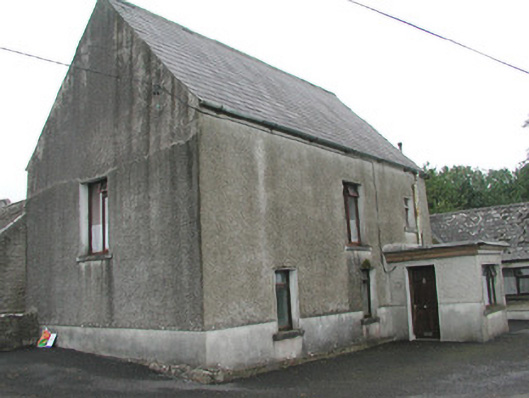 Stand Househouse · 496 yd
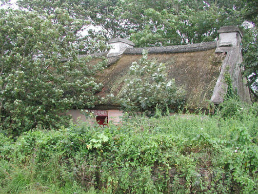 P. Breheneyhouse · 924 yd
 CaveMan-made underground passage · 1023 yd
 Dunmoran StrandBeach / strand · 1.2 mi
 Bawn in CarrowbrickeenBawn · 1.7 mi
 Aughris BeachBeach / strand · 2.1 mi
 Derkmore PointHeadland · 2.3 mi
 Giant's GraveArchaeological place · 2.7 mi
 Aughris HeadHeadland · 3.1 mi
 Valley WoodForest · 3.1 mi