What is recorded here
No visible entrance remains, only a shallow depression in the western half of the rath. That missing shape suggests a chamber fell inward rather than a person ever digging through solid ground. The passage may have hidden a door, a stair or a room now indistinguishable from ordinary earth.
In a rath (KE067-048----). A depression (1.4m E-W; 1m N-S; D 0.25m) in the W half of the rath may indicate a collapsed Man-made underground passage chamber.
Compiled by: Elizabeth Byrne, Ursula Egan and Sheila Ronan, Archaeological Survey Unit, University College, Cork.
Date of upload: 31 January 2011
The monument record does not grant public access. Check the route and ask the landowner before entering private land.
- What survives
- Recorded monument
Places near here
 IndicatedFairy fort / earthen ringfort · 459 yd
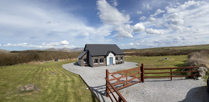 Hut site in DromickbaneHut site · 1110 yd
 Religious houseReligious house, Franciscan friars · 1159 yd
 Sheheree Bog Nature ReserveNature reserve · 1222 yd
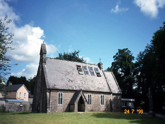 church/chapelchurch/chapel · 1.1 mi
 The Blue PoolGallery · 1.1 mi
 Blue Pool Nature ReserveWood · 1.1 mi
 Flesk CastleCastle · 1.2 mi
 Muckross AbbeyHeritage attraction · 1.4 mi
 McCarthy Mor CastleCastle · 1.4 mi
 Osprey RockIsland · 1.7 mi
 Castlelough BayBay · 1.7 mi