What is recorded here
Within rath (WA034-022001-), where it is c. 8m W of the centre. Described by Forsayeth (1911a; 1913a) as Z-shaped in plan (L c. 10.65m) with a rectangular chamber (dims. c. 3.4m x c. 1.3m; H c. 1.5m). It is now collapsed, but its outline can be traced.
Forsayeth, G. W. (1911a) Notes and queries – ‘Souterrrain at Cragg’, WAJ 14, 140-41.
The above description is derived from the published 'Archaeological Inventory of County Waterford' (Dublin: Stationery Office, 1999). In certain instances the entries have been revised and updated in the light of recent research.
Revised by: Michael Moore
Date of upload: 27 September 2011
The monument record does not grant public access. Check the route and ask the landowner before entering private land.
- What survives
- Recorded monument
Places near here
 Embanked enclosureFairy fort / earthen ringfort · 1 yd
 IndicatedFairy fort / ringfort · 554 yd
 RoadRoad, road/trackway · 1476 yd
 Saint Declan's Holy WellSpring · 1.7 mi
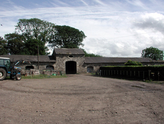 Clashmore Houseoutbuilding · 1.8 mi
 Clashmore Heritage CentreHeritage attraction · 2.0 mi
 Dromore WoodWood · 2.2 mi
 CarronadavdergMountain / peak · 2.9 mi
 D'Loughtane WoodForest · 3.4 mi
 St Bridget's WellSpring · 4.1 mi
 Molana AbbeyHeritage attraction · 4.1 mi
 Dromona HillMountain / peak · 4.2 mi