What is recorded here
In rough pasture broken by rock outcrops, on the S shore of Kenmare Bay. The SMR file does not record the source of the information or any details of this possible Man-made underground passage, apart from a mark indicating its location on a second edition OS 6-inch map extract (SMR file). Due to the uncertainty regarding its nature and its source, it cannot be included in the Inventory. There are no visible remains or local knowledge of this possible Man-made underground passage.
Compiled by: Elizabeth Byrne, Ursula Egan and Sheila Ronan, Archaeological Survey Unit, University College, Cork.
Date of upload: 30 May 2011
This remains an important historical record, but the official description says the monument is no longer visible or has been destroyed. The monument record does not grant public access. Check the route and ask the landowner before entering private land.
- What survives
- No visible remains or recorded as destroyed
Places near here
 Holy well in ArdeaHoly well · 653 yd
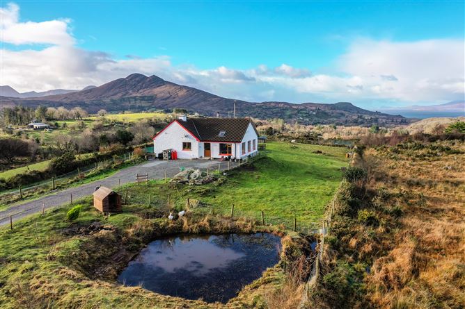 Man-made underground passage in ArdeaMan-made underground passage · 919 yd
 DispensaryBuilding · 1.2 mi
 Ardea Br.Bridge · 1.3 mi
 Ormond's IslandIslet · 1.3 mi
 Rossmore IslandIsland · 1.5 mi
 KnockateeMountain / peak · 1.9 mi
 DrombohillyMountain / peak · 2.1 mi
 Habitat of DerreeniesNature reserve · 2.9 mi
 Lackeen PointHeadland · 2.9 mi
 Soft Tree-fernSoft Tree-fern · 2.9 mi
 Dromore CastleCastle · 3.9 mi