What is recorded here
No. Underneath the ordinary ground in Carrownamaddy, a hidden chamber waits with a narrow entrance, a turning body and a wider end near the hedge. It is not a fantasy or a generic hole; the stones, roof and shape are known. That much is enough to stop pretending the land is empty.
A Man-made underground passage recorded here is said to have been L--shaped each leg being at least 12ft. long. It was flagstone roofed (M. R. Colhoun). Swan (1949, 120) recorded that 'over a dozen' Man-made underground passages had been reported in this general area and also refers to a description of several others near the base of the mountain on which the Grianán of Aileach is situ-ated. (Maghtochair 1935, 18-20).
The above description was derived from the 'Archaeological Survey of County Donegal. A description of the field antiquities of the County from the Mesolithic Period to the 17th century.' Compiled by: Brian Lacey with Eamon Cody, Claire Cotter, Judy Cuppage, Noel Dunne, Vincent Hurley, Celie O'Rahilly, Paul Walsh and Seán Ó Nualláin (Lifford: Donegal County Council, 1983). In certain instances the entries have been revised and updated.
Date of upload: 22 September 2008
Excavation Number 97E0120
An archaeological assessment was carried out at Carrownamaddy townland, Burt, Co. Donegal, on 23 April 1997, of a field containing a partially uncovered Man-made underground passage, in order that any associated archaeological remains might be brought to the attention of the planning authority prior to a decision being made on the erection of a house within the field.
The Man-made underground passage is located in the south-west corner of the field, where ground level is slightly higher than elsewhere. As first observed, a small portion of the eastern passage wall was visible at the extreme south-east end of the exposed Man-made underground passage. Several courses of drystone walling, to a depth of approximately 0.4m below modern field level, were recorded. At the other side of this part of the monument collapsed capstones overlay the western wall, which was not visible but could be located by hand.
Further along the Man-made underground passage to the north, two in situ lintel stones were exposed to a length of 0.8m and 0.5m respectively. Several disturbed capstones were also noted. The method of roofing appeared to be that a double course of capstones were set on slight corbelling. These were in turn covered with smaller stones and a gravelly soil deposit. Above this level was an extremely thin depth of topsoil, a mixture of the gravel, turf and grass.
The Man-made underground passage seems to have a drop-creep entrance, located at the extreme north-east of the visible monument. This appeared as two substantial sidestones demarcating a roughly square depression in the Man-made underground passage mound. The passage appeared to narrow before turning and widening out towards the hedge-line (the western limit of the development site). Where the in situ capstones survive, the passage appeared to be approximately 1.1m wide. Further along, at the point where the walling was exposed, the passage appeared to be roughly 1.3m wide.
No visible habitation structures associated with the Man-made underground passage were located and the full extent of the monument could not be clearly defined.
In the course of the assessment seven trenches, all roughly 2m wide, were excavated by a mixture of machine and manually, along the line of the proposed driveway of the house (east of the Man-made underground passage) as far as the location of the proposed garage and septic tank. Six of these were excavated parallel to each other, roughly east-west, across the southern half of the field. The trenches varied in length from 34m to 40m. The seventh trench, 20m long, was excavated along the western field boundary, north of the Man-made underground passage.
Nothing of archaeological significance was observed in any of the trenches apart from Trench 2. Here, at the western end of the cutting and some 12m east of the Man-made underground passage, were uncovered two deposits within a shallow cut. A sherd of late medieval pottery was recovered in one of the cut fills, along with burnt bone and slag. Given the presence of these, it may be that the area was used for metalworking in the late medieval period. It is unlikely that this activity was contemporary with the Man-made underground passage usage.
A zone of potential archaeological sensitivity around the Man-made underground passage was recommended as a result of the assessment and was incorporated into the planning condition for the proposed development.(Excavations Bulletin 1997)
Ruairí Ó Baoill and Paul Logue, Archaeological Development Services Ltd, Westlink Enterprise Centre, 30-50 Distillery Street, Belfast BT
The monument record does not grant public access. Check the route and ask the landowner before entering private land.
- What survives
- Recorded monument
Places near here
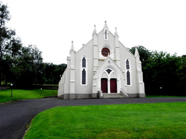 Burt Presbyterian Churchchurch/chapel · 232 yd
 Saint Aengus' Catholic Churchchurch/chapel · 336 yd
 Greenan MountainMountain / peak · 1647 yd
 Grianán of AileachFairy fort / stone ringfort · 1648 yd
 Grianán of Aileach Outer HillfortHillfort · 1648 yd
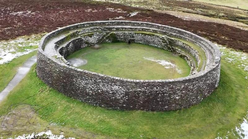 Bunnamayne Levelled Fairy FortFairy fort / earthen ringfort · 2.0 mi
 Cashel HillMountain / peak · 2.3 mi
 Bawn in An Machaire Beag (tc Fathain)Bawn · 2.6 mi
 Emmery Celtic CrossWood · 2.6 mi
 Old CastleCastle, tower house · 2.9 mi
 Mass RockNamed rock · 2.9 mi
 King's GraveArchaeological place · 3.3 mi