What is recorded here
Within the NW quadrant of a cashel (GA114-037----). This Man-made underground passage was described by Westropp (1919a, 182) as ‘running west-north-west to east-south-east for about 54 feet [c. 16.5m] long, turning nearly at right angles for over 20 feet [c. 6m] in a north-eastern direction’, suggesting it was L-shaped in plan. It was choked with debris and was about ‘3 feet [c. 0.9m] wide near the top’. It is now inaccessible. (McCaffrey 1952, 281, no. 48)
Compiled by: Galway Archaeological Survey, UCG
Date of upload: 13 January 2017
The monument record does not grant public access. Check the route and ask the landowner before entering private land.
- What survives
- Recorded monument
Places near here
 Loughnane and Quinn Memorial Halldemesne walls/gates/railings · 681 yd
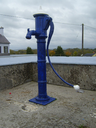 water pumpwater pump · 694 yd
 CaveMan-made underground passage · 898 yd
 Man-made underground passage in Ballymaquiff NorthMan-made underground passage · 947 yd
 Castle (in ruins)Castle, Anglo-Norman masonry castle · 1497 yd
 Ballymaquiff CastleCastle · 1723 yd
 Drumharsna CastleHeritage attraction · 1.4 mi
 HawthornHawthorn · 2.2 mi
 European ashEuropean ash · 2.2 mi
 Drumacoo Monastic SiteHeritage attraction · 5.3 mi
 Goose IslandIslet · 9.2 mi
 InishcorraIslet · 9.4 mi