What is recorded here
This record was created to cover a possible Man-made underground passage, the location of which is pencilled onto the Ordnance Survey 1st. ed. 6-inch map in the archive unit of the National Monuments Service (SMR File). The site of this possible Man-made underground passage is located 150m E of Trinity Church (WI023-014001-). Area marked on OS six-inch map now covered in furze bushes making detailed examination of this area impossible.
Compiled by: Caimin O'Brien
Date of upload: 16 November 2012
The monument record does not grant public access. Check the route and ask the landowner before entering private land.
- What survives
- Recorded monument
Places near here
 Trinity Church (in Ruins), Cloigtheach (Site of)Church · 171 yd
 Stone CrossCross, Wayside cross · 332 yd
 Glendalough Visitor CentreMuseum · 474 yd
 Priory of St. Saviour (in Ruins), Grave Yd.Religious house, Augustinian canons · 508 yd
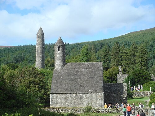 GlendaloughHeritage attraction · 613 yd
 St. Kierans Ch. (in Ruins)Church · 689 yd
 Poulanass WaterfallWaterfall · 1.3 mi
 Native Woodland Trust: Paddock Hill ReserveWood · 1.9 mi
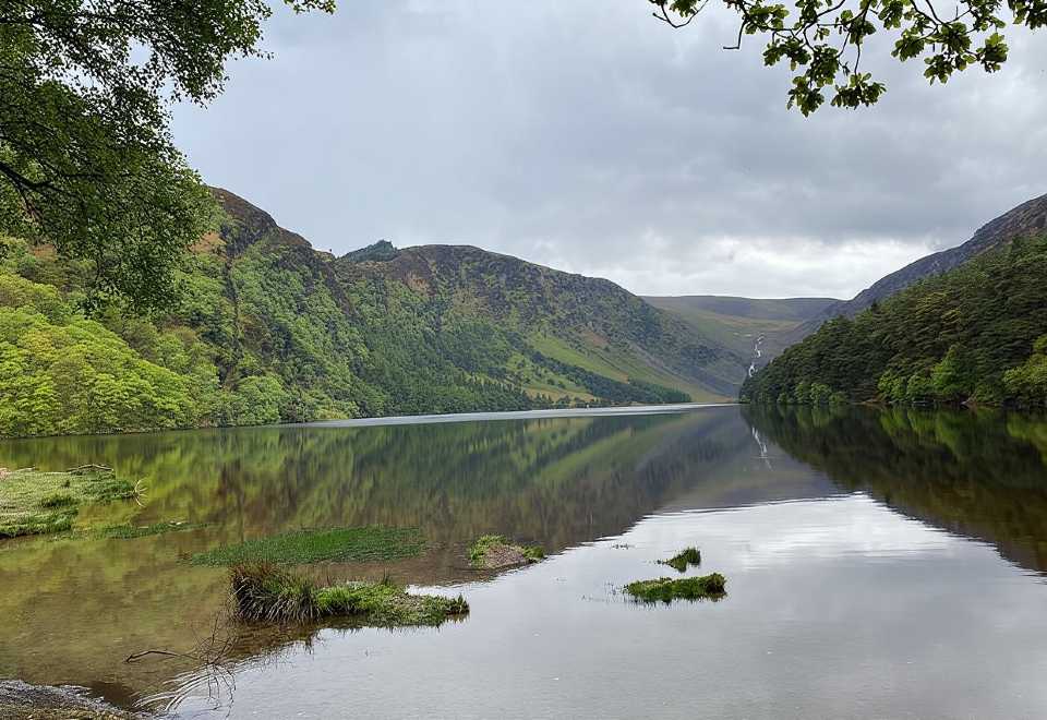 Glendalough CragsCliff · 2.8 mi
 Shay Elliott memorialMemorial · 2.9 mi
 MullacorMountain / peak · 2.9 mi
 Knockrath Castle (in ruins)Castle, tower house · 3.0 mi