What is recorded here
Yes. You want the boundary drawn around the answer.
Subsidence in SW quadrant of ringfort (CO109-043---) may indicate collapsed Man-made underground passage.
The above description is derived from the published 'Archaeological Inventory of County Cork. Volume 1: West Cork' (Dublin: Stationery Office, 1992). In certain instances the entries have been revised and updated in the light of recent research.
Date of upload/revision: 14 January 2009
The monument record does not grant public access. Check the route and ask the landowner before entering private land.
- What survives
- Recorded monument
Places near here
 Castle DerryCastle · 327 yd
 Fulacht fia in CastlederryFulacht fia · 410 yd
 Mass-rock in CastlederryMass-rock · 522 yd
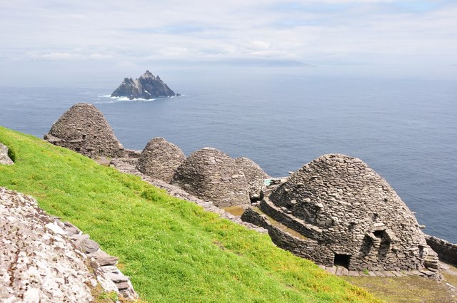 Keel MonasteryRuins · 1613 yd
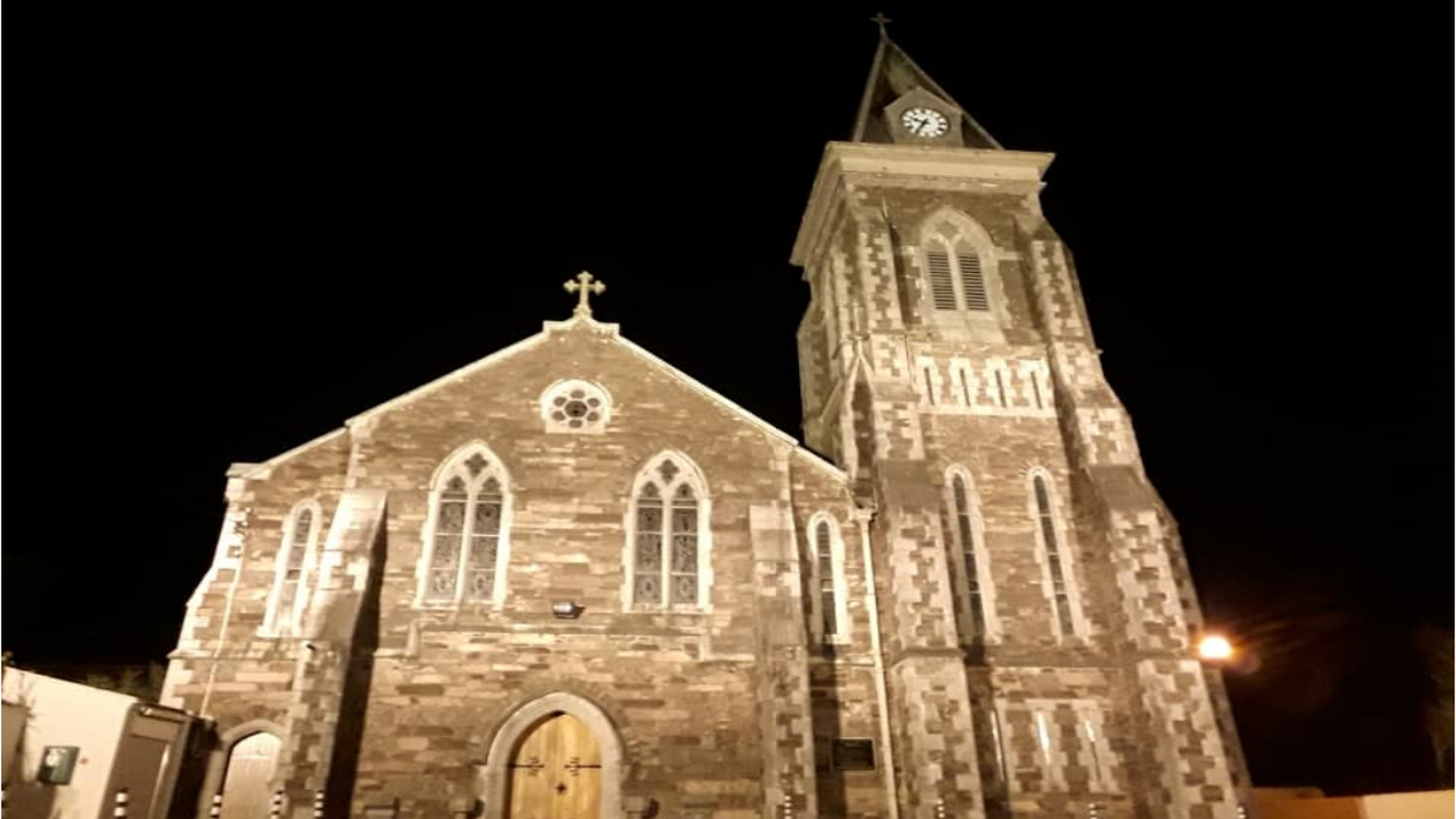 R. C. ChapelChurch · 1.1 mi
 The GlenWood · 1.3 mi
 Corran HillMountain / peak · 1.8 mi
 Tobar MacloonaboySpring · 2.5 mi
 Fahanacowley Castle (Site of)Castle, unclassified · 3.3 mi
 Irish National Forestry FoundationNature reserve · 4.0 mi
 Battle of the Big Cross (1798) Memorial MonumentMonument · 4.1 mi
 Graveyard in KilmalodaGraveyard · 4.8 mi