
What is recorded here
That is a man-made underground passage in Ballybarrack, County Louth, Ireland, partially revealed as protruding stones at field level on the SE end of a surviving bank within a partly levelled ringfort. It was a drystone-built passage with a recess located at the turn, probably better interpreted as a blocked creep. The stones still mark the line of a narrow hidden route that people once cut through earth, perhaps to keep warmth, hide goods or enter a fort without crossing open ground.
The following description is derived from both the published 'Archaeological Inventory of County Louth' (Dublin: Stationery Office, 1986) and the 'Archaeological Survey of County Louth' (Dublin: Stationery Office, 1991). In certain instances the entries have been revised and updated in the light of recent research.
Date of upload/revision: 17 July 2007
Situated within partly levelled ringfort (LH007-074001-). The Man-made underground passage is now partially revealed as protruding stones at field level on the SE end of the surviving bank. Described (UJA 1897, 276) as being a drystone-built passage with a recess located at the turn in the passage. This 'recess' or'locker' is probably better interpreted as a blocked creep.
The monument record does not grant public access. Check the route and ask the landowner before entering private land.
- What survives
- Recorded monument
Places near here
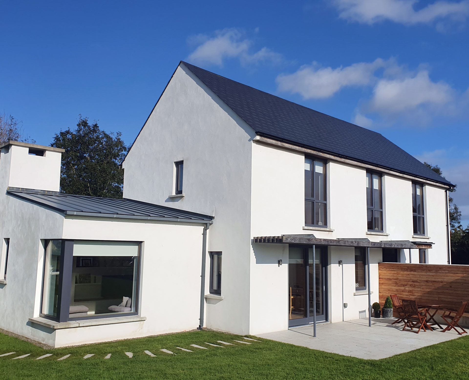 Enclosure in BallybarrackEnclosure · 767 yd
 Church (in Ruins)Church · 947 yd
 CastleCastle, unclassified · 1136 yd
 BallybarrackMountain / peak · 1260 yd
 Enclosure in Cavan (dundalk Upr By; Dunbin Par.)Enclosure · 1370 yd
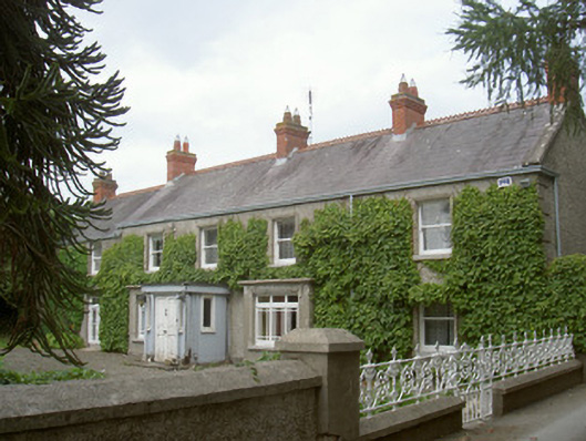 farm housefarm house · 1493 yd
 Dunmahon CastleCastle, tower house · 1.8 mi
 Photo GalleryHeritage attraction · 2.0 mi
 Dundalk CentralHeritage attraction · 2.0 mi
 Maid of ErinMemorial · 2.4 mi
 Bombing 1975Memorial · 2.4 mi
 Broad WoodForest · 2.8 mi
Other information
Photo: Credit not shown in the picture search · Rights wording not checked; contact us if this picture should be removed