What is recorded here
No visible trace remains in County Cork because men filled the passage after discovering it during levelling of the ringfort in 1966. It hides inside the earth now, perhaps still holding the shape of human hands and the breath of forgotten feet. Ballinluska keeps its secret without apology, while the land above forgets the shape of what it swallowed.
In ringfort (CO099-033001-). Discovered during levelling of ringfort in 1966 and infilled (O Murchadha 1967, 12). No visible surface trace.
The above description is derived from the published 'Archaeological Inventory of County Cork. Volume 2: East and South Cork' (Dublin: Stationery Office, 1994). In certain instances the entries have been revised and updated in the light of recent research.
Date of upload/revision: 14 January 2009
The monument record does not grant public access. Check the route and ask the landowner before entering private land.
- What survives
- Recorded monument
Places near here
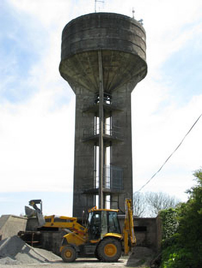 water towerwater tower · 261 yd
 Fennells Bay beachBeach / strand · 631 yd
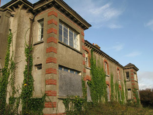 Ballinluska Housecoastguard station · 669 yd
 Myrtleville BeachBeach / strand · 785 yd
 St Marys WellHoly well · 819 yd
 St Bridgets WellHoly well · 821 yd
 Crosshaven Tourist OfficeVisitor information · 1639 yd
 Castle (Site of)Castle, unclassified · 1.2 mi
 Curraghbinny WoodsForest · 1.5 mi
 The Giant's GraveMonument · 1.5 mi
 William Warren Baldwin plaqueMemorial · 1.6 mi
 Roches PointHeadland · 1.8 mi