What is recorded here
Under Caherlea headland, a narrow stone passage cuts through ancient earth, its walls still bearing the pressure of centuries. One end seals behind a collapsed roof, the other opens into a flooded chamber where water has erased whatever stood there. The gap in the side wall still points inward, inviting a hand or a lantern into darkness that may preserve what the sea took.
Caherlea/Cathair Léith: Situated on the headland which forms the W side of the entrance to Smerwick Harbour.
The present entrance to a drystone-built Man-made underground passage occurs c. 4 to 5m inside the edge of the scarp which defines the W portion of the enclosure. From here a passage extends 1.5m to ENE to meet a 2nd passage running at right angles to it. This latter is up to .85m high and from .6m to 1m in width, but its exact length could not be determined. About 4m from the entrance, the NW end of the passage is blocked by collapsed roofing slabs. However, about 6m beyond this there appears to be an end wall. This is provided, at its SW side, with an entrance gap which may lead to a further chamber or passage. At the SE end of the passage, c. 0.9m from the entrance, a single slab forms the end wall. A neatly executed port-hole, cut out of this at ground level, measures .48m in width x .33m in height. The chamber beyond is now flooded and inaccessible. It has a curved SE end wall and a gap at the E end of the N wall may lead to a further passage or chamber. A piece of pottery was apparently found in the Man-made underground passage (O'Sullivan 1931, 509).
The above description is derived from J. Cuppage, ‘Corca Dhuibhne. Dingle Peninsula archaeological survey. Ballyferriter. Oidhreacht Chorca Dhuibhne’ (1986), no. 589. In certain instances the entries have been revised and updated in the light of recent research.
Date of upload: 7 August 2013
The monument record does not grant public access. Check the route and ask the landowner before entering private land.
- What survives
- Recorded monument
Places near here
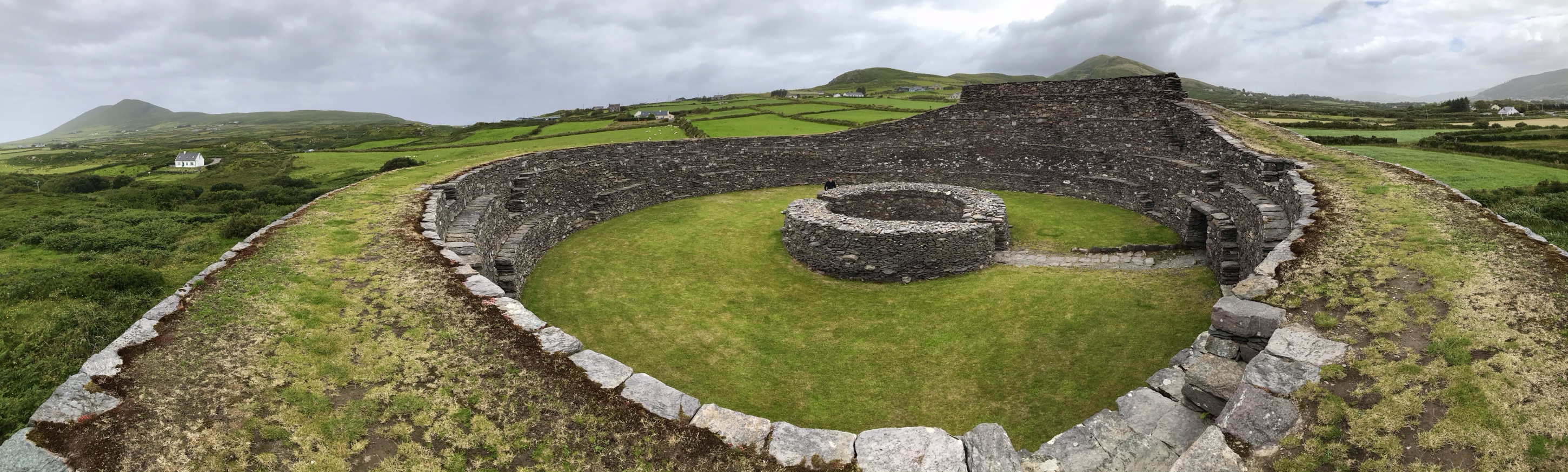 Fairy fort / stone ringfort in Ard Na CaithneFairy fort / stone ringfort · 16 yd
 An SliosCliff · 516 yd
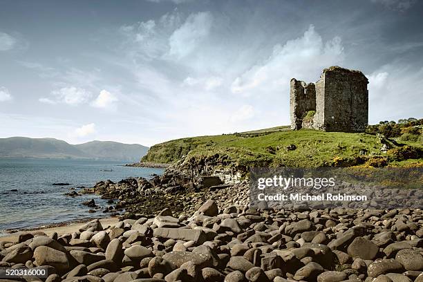 Faill an tSrutháinCliff · 684 yd
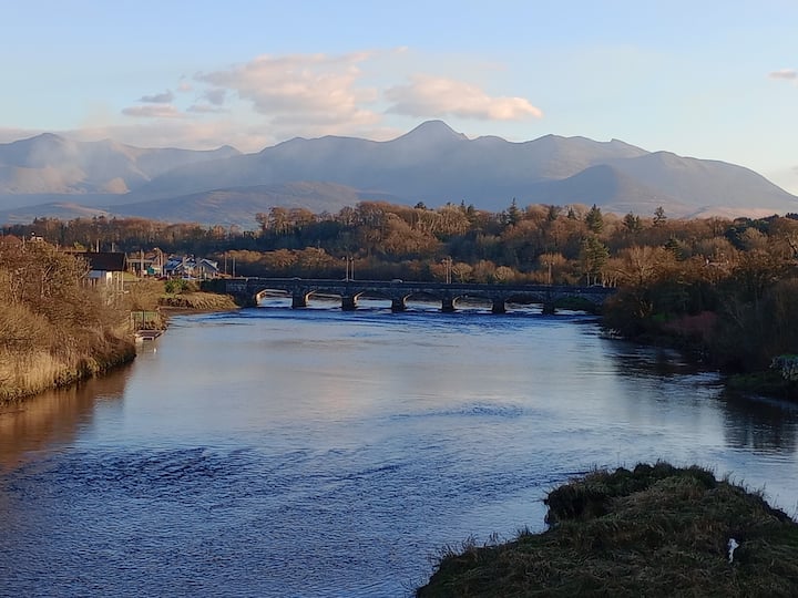 Binn MheánaighMountain / peak · 707 yd
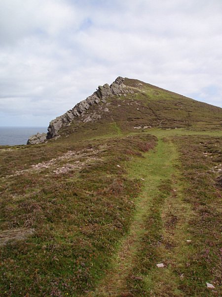 Binn DiarmadaMountain / peak · 802 yd
 Dermot & Grania's BedArchaeological place · 957 yd
 Dunanoir FortVisitor information · 1338 yd
 Tráigh Bhéal BánBeach / strand · 1.3 mi
 Trá an FhíonaBeach / strand · 1.9 mi
 Músaem Chorca DhuibhneMuseum · 2.4 mi
 Séipéal Uinseann Naofa [Saint Vincent's Catholic Church]church/chapel · 2.4 mi
 Séipéal Bhréanainn [Saint Brendan's Catholic Church]church/chapel · 2.4 mi