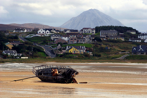
What is recorded here
That is the only fact available. An underground passage may have formed within the rath, but no visible chamber, entrance, length or condition is recorded. The river, slope and hut marks are clear; the passage itself remains an unproven suggestion rather than a documented chamber.
Roughly circular univallate rath KE044-077---- situated on an ESE facing slope overlooking the Owenalondrig river. The remains of 3 hut sites are visible in the interior and a Man-made underground passage (KE044-077004-), mentioned briefly by Curran (No.3), may have been located within this site.
The above description is derived from J. Cuppage, ‘Corca Dhuibhne. Dingle Peninsula archaeological survey. Ballyferriter. Oidhreacht Chorca Dhuibhne’ (1986), no. 450. In certain instances the entries have been revised and updated in the light of recent research.
Date of upload: 7 August 2013
The monument record does not grant public access. Check the route and ask the landowner before entering private land.
- What survives
- Recorded monument
Places near here
 Fulacht fia in An Gabhlán BeagFulacht fia · 495 yd
 Hut site in An Gabhlán ArdHut site · 583 yd
 Lispole Viaductbridge · 1111 yd
 Séipéal Eoin Baiste [Catholic Church of Saint John the Baptist]church/chapel · 1150 yd
 Lispole Ambush MonumentWayside cross · 1216 yd
 Cruach SceirdeMountain / peak · 1.5 mi
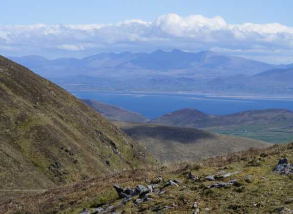 An Cnapán MórMountain / peak · 1.6 mi
 CarrigavinnaunNamed rock · 2.6 mi
 Caisleán na Mine AirdeCastle · 2.6 mi
 Tobar EoinSpring · 2.6 mi
 Minard Castle (in ruins)Castle, tower house · 2.6 mi
 Maughanablagher CliffsCliff · 2.7 mi
Other information
Photo: Credit not shown in the picture search · Rights wording not checked; contact us if this picture should be removed