What is recorded here
An L-shaped stone passage cuts into the terraced hillside at An Dumhaigh, its narrow western mouth facing the sea like a hidden throat. Local memory claims people reused the dark chamber in the 1900s to make poitin, turning an old unknown space into a risky workshop. The nearby cottage and ancient Fanad monuments suggest the passage may belong to several ages at once, preserving human ingenuity across centuries.
Built into W face of terraced hillside are the remains of an L-shaped passage (Wth 1m; H 0.8m; L 3m x 2m] defined by a drystone wall and roofed with stone lintels. Entrance opening (0.45m x 0.45m) in drystone wall faces W towards the sea and this opening may have been rebuilt in the 19th century. The function, dating or classification of this structure is uncertain. According to local information it was reused in the 1900's as a place where poitin was made. It is similar in construction to the hermitage site know as St Fanad's Cell (DG080-024) which is 285m to the E. Other monuments located nearby include St. Connell's Well (DG080-023), St Fanad's Well (DG080-024004-), bullaun stone (DG080-024001-), Man-made underground passage (DG080-024003-), standing stone (DG080-024005-) and burial ground (DG080-024007-) which are all located c. 280m to the E. The hillside into which the L-shaped passage has been constructed has a series of terraces (DG080-032002-) built into the slope of the hill in a manner similar to the terracing on Sceilg Mhichil in Co. Kerry. A small 18th/19th century cottage is located 50m N of this structure. It is possible that this L-shaped passage which is built like a Man-made underground passage may be contemporary with the ecclesiastical complex assoicated with St Faned and therefore may date from the medieval period. If this is the case it would seem likely that the terracing of the hillside also dates from this period. Alternatively the close proximity of the cottage to the N may suggest that this structure along with the terracing was built by the people who lived in this dwelling during the 18th/19th centuries.
The monument record does not grant public access. Check the route and ask the landowner before entering private land.
- What survives
- Recorded monument
Places near here
 Glencolmcille Folk VillageMuseum · 203 yd
 IndicatedHoly well · 255 yd
 St. Faneds CellHermitage · 313 yd
 An Trá Bheag (Trá Bheag an Ghleanna)Beach / strand · 478 yd
 Trá an GhleannaBeach / strand · 536 yd
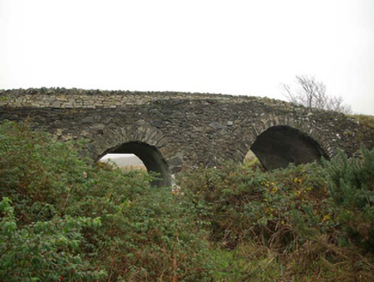 Droichead an tSráidbridge · 762 yd
 Teach Pobail Naomh Columbachurch/chapel · 845 yd
 Glencolmcille Old GraveyardGraveyard · 1210 yd
 Rossan PointHeadland · 2.3 mi
 Silver Strand ViewpointViewpoint · 3.3 mi
 Slieve LeagueMountain / peak · 4.0 mi
 Slieve League SE TopMountain / peak · 4.3 mi