What is recorded here
In a small pocket of woodland surrounded by pasture. Named ‘Macduagh’s Holy Well’ on the 1838 and 1922 editions of the OS 6-inch maps, this natural spring well is known locally as ‘Colman’s Well’. It is rectangular in shape (1.56m N-S; 0.94m E-W; D 0.75m) and is lined with drystone walling. A single step (L 0.94m; Wth 0.33m) at its S end accesses the water. The well is surrounded by a D-shaped enclosure (dims. c. 2.7m ENE-WSW), with a straight E side (L c. 7m), which is defined by a wall (av. base Wth 1m; int. H 1m, ext. H 1.2m) that has partially collapsed at NNW. A possible entrance gap at SE was blocked up. Fahey (1893, 113) described the well as containing ‘an unfailing supply of purest water’, and noted that it was ‘overshadowed by a splendid ash’. He also recorded two further ‘similar enclosures’, which appear to have been penitential stations, that were visible within ‘a few yards on either side’ of the well. On inspection in September 1982, one of these (GA122-012001-) was noted to the E of the well. There was no visible surface trace of the second one (GA122-012002-). Likewise, no trace was noted of the 'Leaba Mac Duagh, or St. Colman's Bed', which Fahey recorded close to the entrance to the well. The latter consisted of 'a natural arbour, formed by a cluster of whitethorn and hazel.' The branches sheltered 'a slight excavation carpeted with moss and ivy', in which the 'Saint sometimes sought repose.'
Compiled by: Olive Alcock
Date of upload: 4 January 2023
Fahey, J.A. 1893 (Reprint 1986) The history and antiquities of the diocese of Kilmacduagh. Galway. Kenny Gallery.
Linked to Saint Macduagh (also known as Mac Cua), an early Irish saint associated with the 7th century, the well is traditionally believed to have healing properties, particularly for eye ailments. Locally known as "Colman’s Well," it reflects a common Irish tradition of attributing curative powers to holy wells connected to saints.
The monument record does not grant public access. Check the route and ask the landowner before entering private land.
- What survives
- Recorded monument
Places near here
 IndicatedFairy fort / earthen ringfort · 274 yd
 Mine in CaherglassaunMine · 599 yd
 Enclosure in CaherglassaunEnclosure · 1095 yd
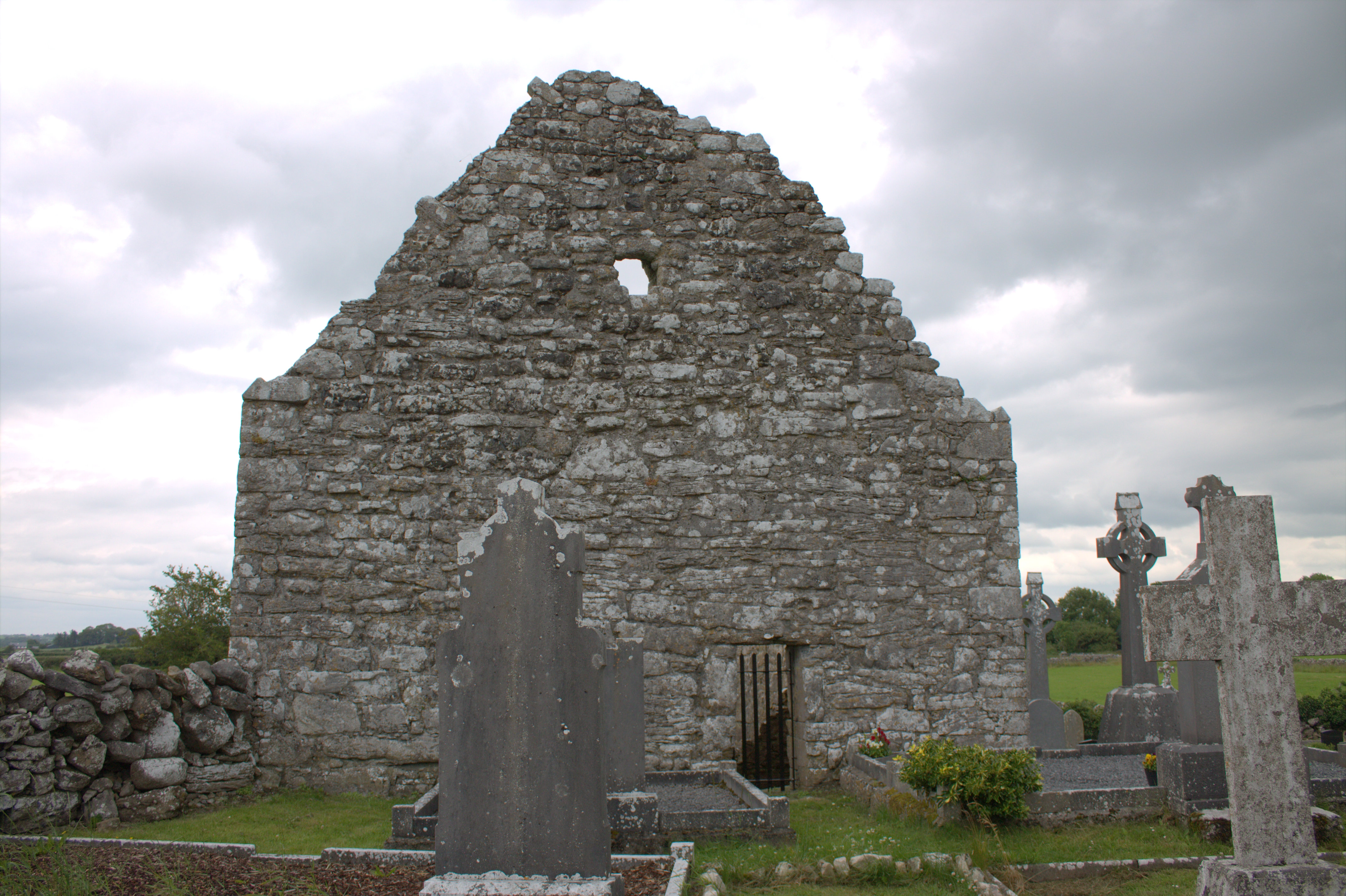 Killomoran Church (in ruins)Church · 1293 yd
 Castle in ruinsCastle, unclassified · 1357 yd
 Cahererillan CastleCastle · 1.8 mi
 Coole-Garryland Nature ReserveNature reserve · 2.1 mi
 Coole ParkWood · 2.5 mi
 Kilmacduagh Monastic SiteVisitor information · 3.9 mi
 Mulroney's IslandIslet · 3.9 mi
 Kilmacduagh MonasteryHeritage attraction · 4.0 mi
 Cusheen IslandIslet · 4.3 mi