What is recorded here
Mazetown emerged during the eighteenth and nineteenth centuries, forcing people to build a life where the land resisted easy understanding. Chambers cut through solid rock or stacked from local stone created small rooms capable of holding warmth, breath and memory. The settlement still belongs to the region because those chambers preserved human presence long after named lives faded.
The official Northern Ireland record identifies this as Lurganure/Mazetown Historic Settlement. Recorded period: C18TH/C19TH. The official map point was placed at the centre of the recorded archaeological site from the source map reference.
The monument record does not grant public access. Check the route and ask the landowner before entering private land.
- What survives
- Recorded monument
Places near here
 ENCLOSURE (O.S. memoir site, unlocated) in KnocknareaENCLOSURE (O.S. memoir site, unlocated) · 1570 yd
 ENCLOSURE (O.S. memoir site) in DrumanduffENCLOSURE (O.S. memoir site) · 1.1 mi
 Magheragall Parish ChurchChurch · 1.5 mi
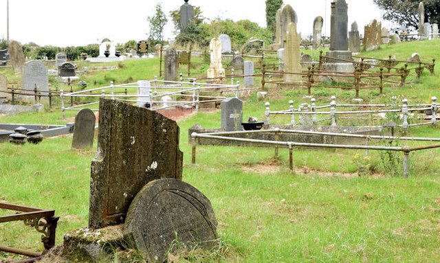 CHURCH & GRAVEYARD in BlarisCHURCH & GRAVEYARD · 1.7 mi
 Kilwarlin Moravian Church ‘Battle Garden’ in CorcreenyKilwarlin Moravian Church ‘Battle Garden’ · 2.4 mi
 Hillsborough War MemorialMemorial · 2.7 mi
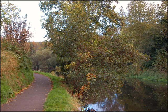 Lagan TowpathWalking route · 2.7 mi
 Belshaw's Quarry Nature ReserveNature reserve · 2.8 mi
 Hillsborough FortVisitor information · 2.8 mi
 Lake TrailWalking route · 3.0 mi
 Linen Centre and MuseumMuseum · 3.0 mi
 Hillsborough Forest ParkForest · 3.1 mi