What is recorded here
Scotland's National Record of the Historic Environment records Lord Rank as Ketch (period Unassigned)-(2010). The official map says its point is accurate as follows: NGR given to the nearest 1m. The record does not by itself mean that the public may enter the place.
The *Lord Rank* was a ketch, lost in Scottish waters, though the exact date and cause of its loss remain unspecified in the record; no details of lives or cargo lost are provided, and its broader historical significance is not recorded.
The historic-place record does not grant public access. Check current conditions and ownership before entering land or a building.
Places near here
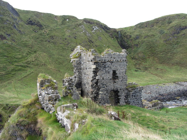 KINBANE CASTLE in CregganboyKINBANE CASTLE · 1136 yd
 Kinbane CastleCastle · 1137 yd
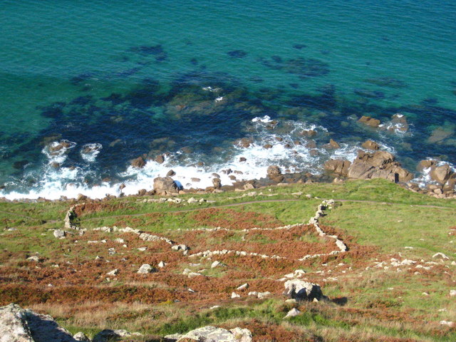 A.P. SITE: ENCLOSURE & FIELD BOUNDARIES in CoolmaghraA.P. SITE: ENCLOSURE & FIELD BOUNDARIES · 1.3 mi
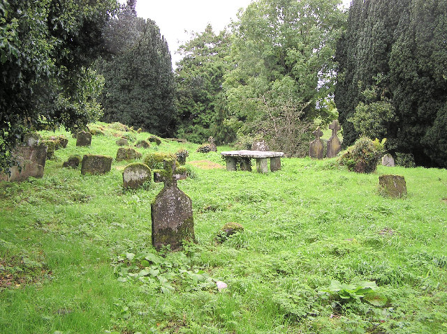 GRAVEYARD & ENCLOSURE in GlenstagheyGRAVEYARD & ENCLOSURE · 1.5 mi
 Carrickarede IslandIslet · 1.9 mi
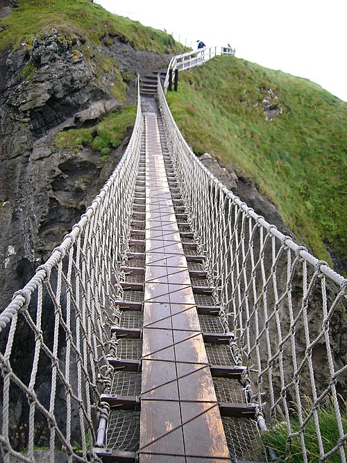 Carrick-a-rede Rope BridgeHeritage attraction · 1.9 mi
 MarconiMemorial · 2.7 mi
 Ballycastle HarbourVisitor information · 2.7 mi
 Masonic HallHall · 2.8 mi
 Sheep IslandIslet · 2.8 mi
 HISTORIC SETTLEMENT: BALLYCASTLE in Town Parks BallycastleHISTORIC SETTLEMENT: BALLYCASTLE · 2.8 mi
 Ballycastle MuseumMuseum · 2.9 mi