What is recorded here
Lissavorneed is a large oval rath in County Clare, Ireland, where a low earthen bank still circles good pastureland near the top of a steep NE-facing slope. Its western face has lost its sod cover, exposing the earth beneath the later field wall, while a broad SE gap may mark the original entrance. The name appears as Lissavorneen on old maps and Lios an Boirnín on a later map, tying the place to local memory rather than distant legend. Cattle may still use the eastern gap, but the underground passage in the SW sector is no longer reachable, leaving the fort half-hidden beneath grass, wall and time.
On good pastureland, near the top of a low but moderately steep NE-facing slope. Hachured and named ‘Lissavorneen’ on the 1842 and 1915 eds. of the OS 6-inch maps and named ‘Lios an Boirnín on Robinson’s map (1977). A large poorly preserved oval rath (45.7m E–W; 41m N–S crest to crest) defined by a low but wide earthen bank upon which a later field wall runs SE–NW. The outer face of the bank is denuded of sod cover along the W side showing its earthen construction. A gap (Wth 6m) at SE may be the site of a now enlarged original entrance. A second gap (Wth 1.4m) at ENE is a modern cattle gap. A now inaccessible Man-made underground passage (CL005-004002-) is located in the SW sector.
Compiled by: Mary Tunney and Ros Ó Maoldúin
Date of upload: 15 December 2020
Lissavorneed, Newquay is a ringfort, likely dating to the early medieval period, situated on a slope with historical cartographic references including the name ‘Lios an Boirnín’, which suggests a Gaelic origin. Local tradition associates such sites with fairy folklore, and it may have been considered a place of supernatural significance in the past.
The monument record does not grant public access. Check the route and ask the landowner before entering private land.
- What survives
- Recorded monument
Places near here
_-_geograph.org.uk_-_6978570.jpg?width=1280) Finavarra Housecountry house · 356 yd
Finavarra Housecountry house · 356 yd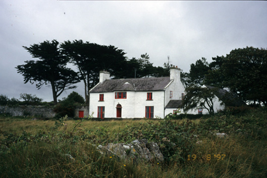 Mount Vernon Lodgehouse · 746 yd
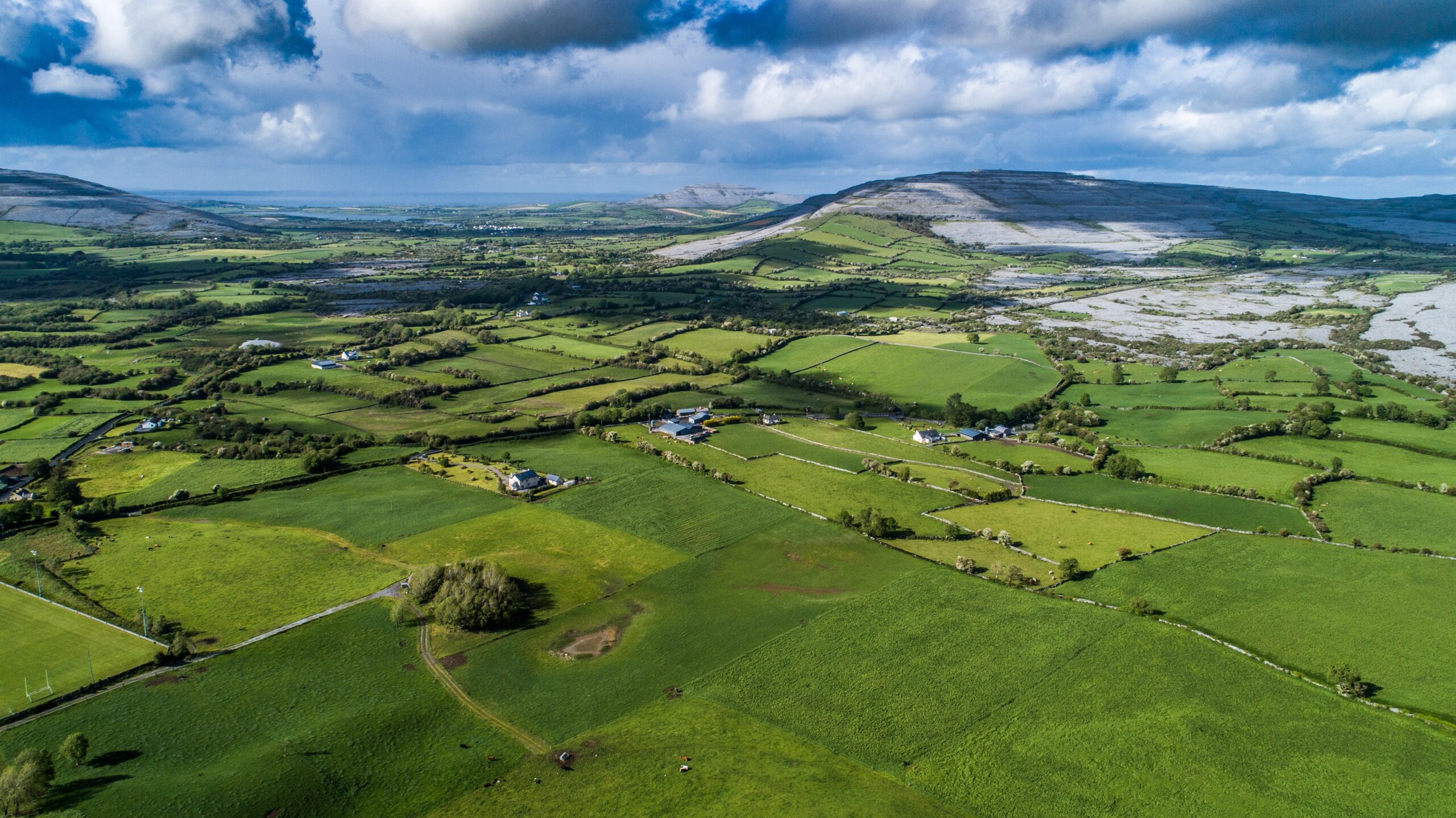 Parkmore FortFairy fort / ringfort · 840 yd
 Donoghmore ODalys MonumentLeacht cuimhne · 845 yd
 The Russell GalleryGallery · 1117 yd
 Muckinish PointHeadland · 1201 yd
 Shanmuckinish CastleCastle, tower house · 1726 yd
_-_geograph.org.uk_-_5527885.jpg?width=1280) IndicatedBawn · 1734 yd
IndicatedBawn · 1734 yd Saint Patrick's ChurchHeritage attraction · 1.7 mi
 Battle of Lough Raskabattle · 2.3 mi
 Abbey HillMountain / peak · 2.4 mi
 Moneen MountainMountain / peak · 2.5 mi
Other information
Photo: Credit not shown in the picture search · Rights wording not checked; contact us if this picture should be removed