What is recorded here
In pasture, on a SE-facing slope, overlooking the estuary of the River Laune. A circular area (diam. c. 40m) defined by an earthen bank (Wth 5.5m; int. H 1.8m; ext. H 1.2m) SW-N and by a low rise N-SW. The bank is incorporated into a field boundary system SW-N. There is a gap (Wth 1m) at NW. The interior is now part of a field. This rath is indicated on the 1846 OS 6-inch map as an embanked circular enclosure (diam. c. 40m) and is named 'Lisroe'.
Compiled by: Elizabeth Byrne, Ursula Egan and Sheila Ronan, Archaeological Survey Unit, University College, Cork.
Date of upload: 31 January 2011
The monument record does not grant public access. Check the route and ask the landowner before entering private land.
- What survives
- Recorded monument
Places near here
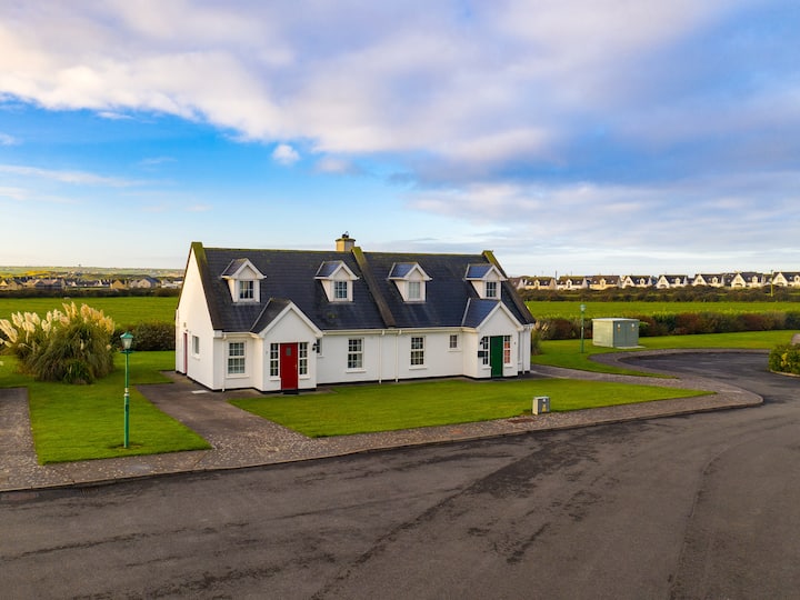 Hut site in Dromin WestHut site · 387 yd
 LisnareavaghArchaeological place · 939 yd
 Clash IslandIslet · 1677 yd
 Cloon IslandIsland · 1.3 mi
 Dungeel Church (in Ruins)Church · 1.3 mi
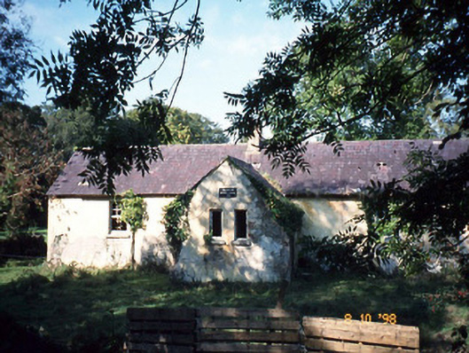 Callanafersy National Schoolschool · 1.5 mi
 King Puck statueMemorial · 1.8 mi
 CastleCastle, tower house · 2.0 mi
 The Kerry Creamery ExperienceHeritage attraction · 3.2 mi
 Ballymalis Castle (in ruins)Castle, tower house · 3.3 mi
 LisnagraveArchaeological place · 4.4 mi
 Dunloe Ogham StonesHeritage attraction · 6.2 mi