What is recorded here
On a ridge in grassland. Subcircular rath (N-S 36m, E-W 30.5m), in fair condition, defined by two banks and an intervening fosse. The inner bank, which is stone-faced externally, is present from E to SE and from S to WNW; a scarp forms the enclosing element elsewhere. A field wall overlies the outer bank throughout. There is an entrance at SE. According to local information, large quantities of bones were found immediately outside the rath at N during tillage operations.
The above description is derived from the published 'Archaeological Inventory of County Galway Vol. II - North Galway'. Compiled by Olive Alcock, Kathy de hÓra and Paul Gosling (Dublin: Stationery Office, 1999).
Date of upload: 05 August 2010
Lisnaraha, Ower is a subcircular early-medieval ringfort, likely dating to between the 6th and 10th centuries AD, situated on a ridge in grassland. Though specific folklore is not recorded, its name may derive from "Lios na Rátha," meaning "grove of the fort," a common Irish appellation associated with both fairy forts and ancient sacred sites.
The monument record does not grant public access. Check the route and ask the landowner before entering private land.
- What survives
- Recorded monument
Places near here
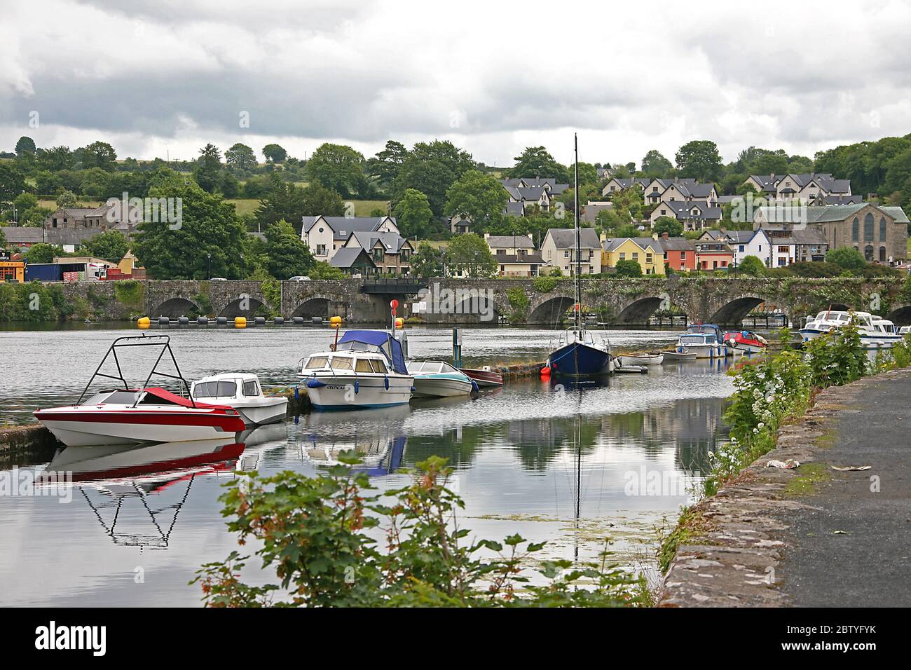 Lisnagaur-laghFairy fort / earthen ringfort · 654 yd
 Kildaree Church (in ruins)Church · 1030 yd
 Toberkeeraun Holy WellHoly well · 1121 yd
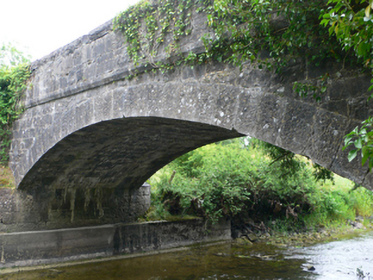 Ower Bridgebridge · 1269 yd
 Ross Errilly FriaryHeritage attraction · 1.2 mi
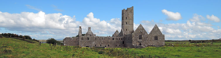 Tower; Proposed site of Ross AbbeyCastle, unclassified · 1.5 mi
 Moyne CastleCastle · 2.0 mi
 BallynacreggaWood · 2.0 mi
 Otter IslandIslet · 2.8 mi
 Camillaun IslandIslet · 3.2 mi
 Cregg PlantationForest · 5.3 mi
 Ballinduff BayBay · 5.8 mi