
What is recorded here
Dumped debris now chokes the east-facing arch of the Lisnagrave limekiln, yet the four-metre rubble wall still stands along the minor road. Built in the mid or late nineteenth century, the structure burned limestone into quicklime for hungry soil or rough mortar. It is a forgotten muscle of Kerry agriculture, waiting for someone to clear the entrance and remember the heat that once lived inside its stones.
Lisnagrave is recorded as a archaeological place in County Kerry. Its open map record supplies this location and any linked names or public references.
Places near here
 Kilgarrylander Church (in ruins)Church · 1389 yd
 Enclosure in Keel (trughanacmy By.)Enclosure · 1553 yd
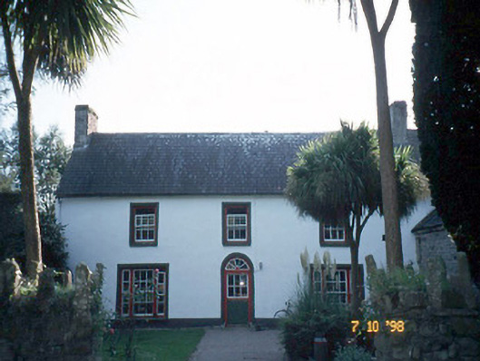 Keel Househouse · 1572 yd
 Castle Drum (in ruins)Castle, unclassified · 1627 yd
 Enclosure in CastledrumEnclosure · 1.1 mi
 Glanbrack MountainMountain / peak · 2.3 mi
 GormaghMountain / peak · 2.5 mi
 Site of Castle MaineCastle, Anglo-Norman masonry castle · 3.5 mi
 Clash IslandIslet · 3.9 mi
 Cloon IslandIsland · 4.2 mi
 Tralee Equestrian CentreHeritage attraction · 4.5 mi
 Scotia's GraveArchaeological place · 4.9 mi
Other information
Photo: Credit not shown in the picture search · Rights wording not checked; contact us if this picture should be removed