What is recorded here
In pasture, on W-facing slope, surrounding hilly ground broken by rock outcrop. Originally circular enclosure (29m N-S). Enclosing feature survives as rise (H 1.2m) NW->SW. Uneven interior slopes down to W; possible Man-made underground passage (CO151-030002-).
The above description is derived from the published 'Archaeological Inventory of County Cork. Volume 1: West Cork' (Dublin: Stationery Office, 1992). In certain instances the entries have been revised and updated in the light of recent research.
Date of upload/revision: 14 January 2009
The monument record does not grant public access. Check the route and ask the landowner before entering private land.
- What survives
- Recorded monument
Places near here
 Tobar an ImeSpring · 299 yd
 Cnocán na LeanbhArchaeological place · 337 yd
 The SpringSpring · 381 yd
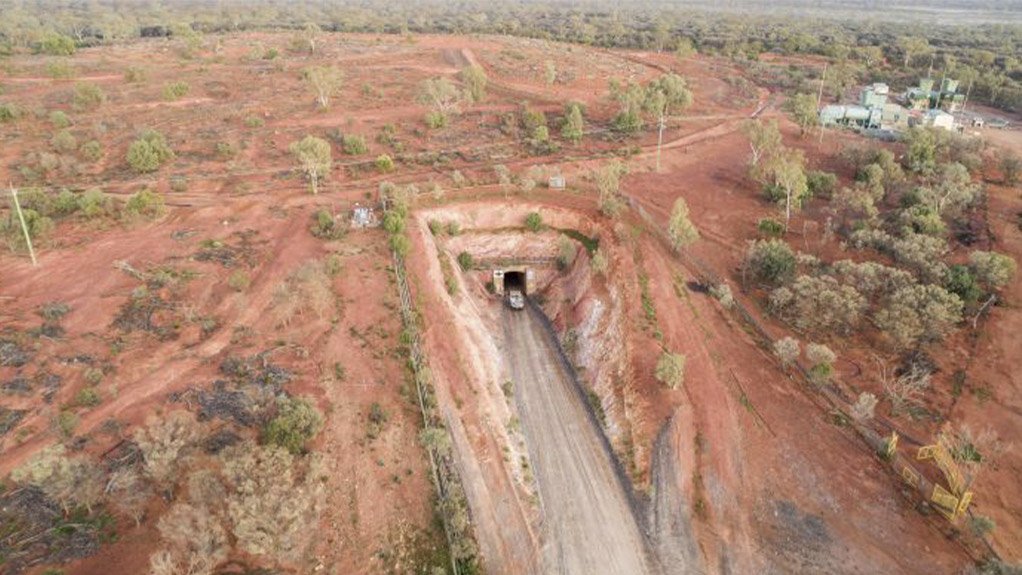 Test Hole for Copper MineMonument · 753 yd
 Port a’ DúnaRuins · 833 yd
 Carraigín Na SúlViewpoint · 990 yd
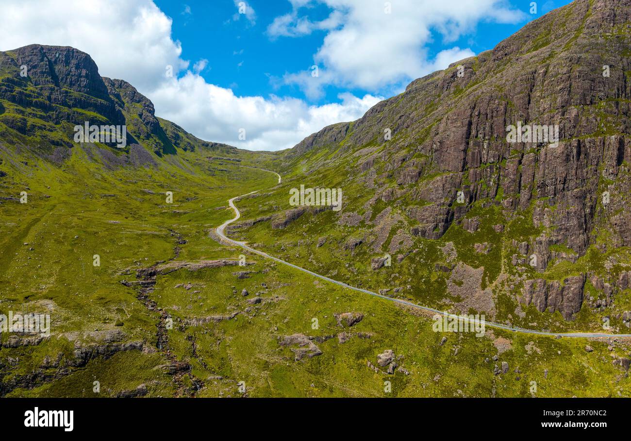 Bealach (pass)Viewpoint · 1356 yd
 Suí FinnMountain / peak · 1430 yd
 Carraig a' ShleáinMountain / peak · 1444 yd
 Sandy CoveBeach / strand · 1501 yd
 Faill ÁrdCliff · 1650 yd
 Ruins of Daly HouseholdRuins · 1679 yd