
What is recorded here
Located on a rise towards the bottom of a N-facing slope. It is represented on the 1836 and 1908 editions of the OS 6-inch map where it is described in gothic lettering as ‘Lismore’. This is a raised, slightly dished, subcircular and grass-covered area (dims 35m E-W; 31m N-S) planted with deciduous trees. It is defined an earthen bank (at WSW: Wth of base 10m; int. H 0.7m; ext. H 3m) that is largely reduced to a scarp (at ENE: Wth 5m; H 3.1m) and an outer fosse (Wth of top 8-9.5m; ext. D 0.5m at E to 1.3m at WSW) and an outer bank (at E: Wth of base 2m; ext. H 0.5m: at WSW: Wth of base 9m; ext. H 1.2m), which is very slight or absent E-SW. There is a ramp entrance (Wth of base 2m) at SE.
The above description is derived from the published 'Archaeological Inventory of County Meath' (Dublin: Stationery Office, 1987). In certain instances the entries have been revised and updated in the light of recent research.
Compiled by: Michael Moore
Date of revision: 3 September 2018
Lismore, Rathe is a small, circular fairy fort (ringfort/rath) likely dating to the early medieval period, as indicated by its appearance on 19th-century Ordnance Survey maps and its typical raised, dished form. The name "Lismore" may derive from the Irish "Liath Mór," meaning "grey hill," and such sites were often associated with supernatural or fairy lore in Irish tradition.
The monument record does not grant public access. Check the route and ask the landowner before entering private land.
- What survives
- Recorded monument
Places near here
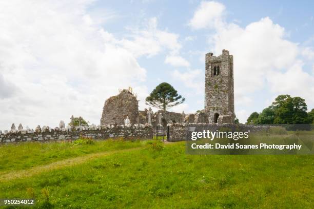 LisnaguinnellFairy fort / earthen ringfort · 634 yd
 LisatanvallyFairy fort / earthen ringfort · 698 yd
 GNR Christmas TreesForest · 1624 yd
 White WoodForest · 1641 yd
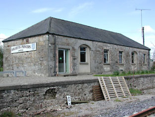 Kilmainham Wood Railway Stationstore/warehouse · 1661 yd
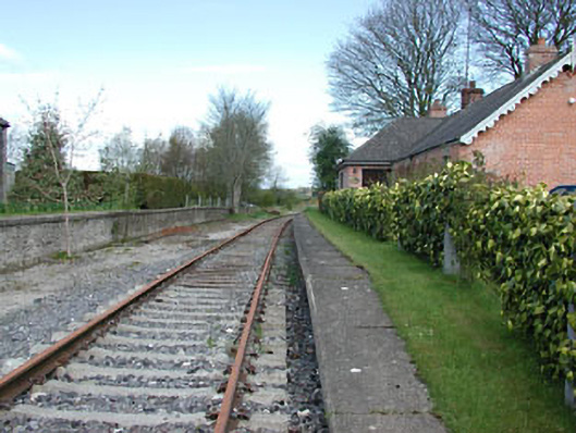 rails (section of)rails (section of) · 1669 yd
 Gallows HillMountain / peak · 2.0 mi
 MoatCastle, motte and bailey · 2.5 mi
 Cloghreagh Castle in RuinsCastle, unclassified · 2.5 mi
 Nobber GreenwayMemorial · 2.7 mi
 BarleyhillMountain / peak · 3.8 mi
 In Memory of Our DadMemorial · 4.4 mi
Other information
Photo: Credit not shown in the picture search · Rights wording not checked; contact us if this picture should be removed