What is recorded here
Lismoney is a circular rath forty-five metres wide in level Galway grassland, its two banks and two fosses still drawing an unbroken line from south through west to north and east. A field wall and road have cut the remaining curve, yet the outermost fosse still shadows the south-western grass. People may have lived inside that double ring before the wall arrived, or the fort may have waited empty for them. Either way, the surviving line still points toward the room they stopped using.
In level grassland. Poorly preserved circular rath (D 45m) defined by two banks and two fosses. The enclosing elements are best preserved from S through W and N to E; elsewhere they are disturbed by a field wall and road. The outermost fosse survives only from S to W.
The above description is derived from the published 'Archaeological Inventory of County Galway Vol. II - North Galway'. Compiled by Olive Alcock, Kathy de hÓra and Paul Gosling (Dublin: Stationery Office, 1999).
Date of upload: 05 August 2010
The monument record does not grant public access. Check the route and ask the landowner before entering private land.
- What survives
- Recorded monument
Places near here
 LismoneyForest · 149 yd
 LiskellyFairy fort / ringfort · 743 yd
 Eglish Abbey in ruinsReligious house, Carmelite friars · 825 yd
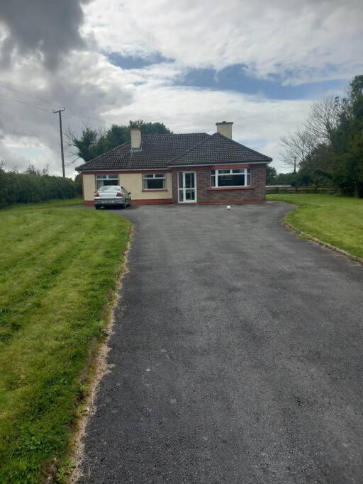 Country house in Castlegar EastCountry house · 893 yd
 Enclosure in Ervallagh EighterEnclosure · 1047 yd
 European ashEuropean ash · 2.4 mi
 Killure Castle (in ruins)Castle, tower house · 2.5 mi
 Clooncoran IslandIsland · 2.6 mi
 Clonbrock CastleCastle, tower house · 3.8 mi
 Inch IslandIsland · 4.2 mi
 Kilconnell AbbeyHeritage attraction · 6.4 mi
 Battle of Aughrim Interpretative CentreMuseum · 6.8 mi