What is recorded here
Lisín na bPáistí is a children's burial ground in County Galway, marked disused on a 1933 map yet still holding a circular drystone boundary. The wall may be modern, but the choice of a separate place for children is not new. Scrub and forgotten shape have taken back most of what the wall once kept distinct.
In an area of scrubland c. 700m E of Gortaghokera house cluster. This CBG, correctly Lisín na bPáistí, is also labelled 'Disused' on 2nd ed. of OS 6-inch map (1933). It consists of a subcircular area (D c. 25m) defined by a modern drystone wall. No headstones were visible but the interior is heavily overgrown.
The above description is derived from the published 'Archaeological Inventory of County Galway Vol. I - West Galway'. Compiled by Paul Gosling (Dublin: Stationery Office, 1993).
Date of upload: 05 August 2010
Portal dolmen; dates to the Neolithic period. Its location and form suggest it was part of a broader ritual landscape, though its specific significance remains poorly documented.
The monument record does not grant public access. Check the route and ask the landowner before entering private land.
- What survives
- Recorded monument
Places near here
 TobermacduaghHoly well · 731 yd
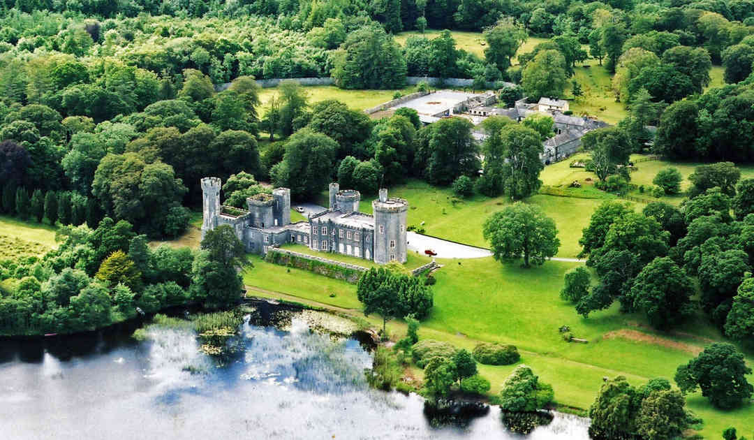 Two Sisters Castles (in ruins)Castle, tower house · 1332 yd
 TobemagoneenyHoly well · 1357 yd
 post boxpost box · 1.1 mi
 KilnKiln, lime · 1.3 mi
 Gurlaun IslandIslet · 1.5 mi
 IllaunnashinnaghIslet · 1.5 mi
 CastleCastle, unclassified · 1.8 mi
 Galway Cakery CaféHeritage attraction · 2.6 mi
 Connemara MarbleHeritage attraction · 2.7 mi
 Cúil DiarmuidWood · 2.9 mi
 Annagh WoodWood · 3.8 mi