What is recorded here
In pasture, on SE summit of hill. Square-shaped area (28m N-S; 27m E-W) enclosed by remains of stone wall (Wth 1.5m; H 0.9m). Gap (Wth 7m) on E side, possible entrance, overlain by stone field fence. Interior contains cultivation ridges.
The above description has been derived from D. Lavelle (compiler), An Archaeological Survey of Ballinrobe and District including Lough Mask and Lough Carra. Lough Mask and Lough Carra Tourist Development Association (1994), No. 278.
Date of upload: 15 October 2014
The monument record does not grant public access. Check the route and ask the landowner before entering private land.
- What survives
- Recorded monument
Places near here
 ToberdrumsheelHoly well · 152 yd
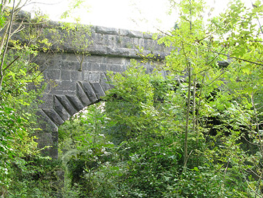 bridgebridge · 197 yd
 The Ivyhouse · 557 yd
 Kelly's CaveCave · 660 yd
 Quiet Man MuseumMuseum · 887 yd
 TonacashlanCastle, unclassified · 938 yd
 Cong AbbeyHeritage attraction · 962 yd
 European YewEuropean Yew · 987 yd
 MonumentLeacht cuimhne · 1236 yd
 Cong WoodsWood · 1290 yd
 Castle (in Ruins)Castle, tower house · 1331 yd
 Oileán na nAnamIslet · 1.5 mi