What is recorded here
On undulating grassland. This poorly preserved subrectangular platform (N-S 24m, E-W 24m) is defined by a scarp with traces of drystone revetment at SW. The interior slopes gradually from SW to NE.
The above description is derived from the published 'Archaeological Inventory of County Galway Vol. II - North Galway'. Compiled by Olive Alcock, Kathy de hÓra and Paul Gosling (Dublin: Stationery Office, 1999).
Date of upload: 05 August 2010
The monument record does not grant public access. Check the route and ask the landowner before entering private land.
- What survives
- Recorded monument
Places near here
 LisglennatoberArchaeological place · 5 yd
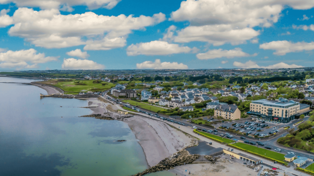 Doonlaur FortFairy fort / earthen ringfort · 1041 yd
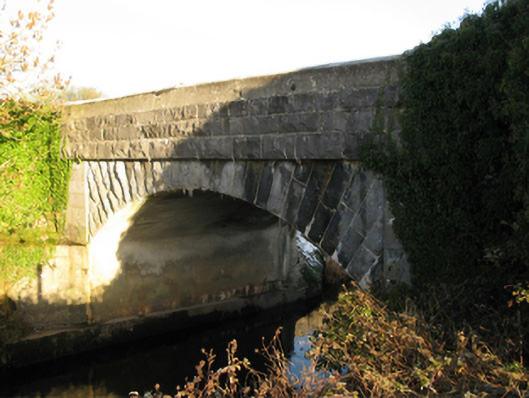 Shrule Bridgebridge · 1059 yd
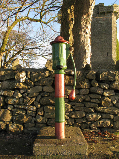 water pumpwater pump · 1149 yd
 Shrule Castle in ruinsCastle, hall-house · 1165 yd
 Shrule CastleCastle · 1165 yd
 Cregg PlantationForest · 1.7 mi
 Pesooge PlantationForest · 1.8 mi
 Ross Errilly FriaryHeritage attraction · 2.7 mi
 Kilcoona Round TowerHeritage attraction · 5.2 mi
 Otter IslandIslet · 6.1 mi
 Walsh's IslandIslet · 6.3 mi