
What is recorded here
A subrectangular promontory 18.5m E-W is enclosed by an earthen bank containing some stone and cut off from the mainland by a steep drop. It is approached from the SE by an artificially constructed causeway c. 2m wide dropping 2m on the SW side and 4m on the SE side. It is located on a small promontory on the E shore of Lough Swilly.
The above description was derived from the 'Archaeological Survey of County Donegal. A description of the field antiquities of the County from the Mesolithic Period to the 17th century.' Compiled by: Brian Lacey with Eamon Cody, Claire Cotter, Judy Cuppage, Noel Dunne, Vincent Hurley, Celie O'Rahilly, Paul Walsh and Seán Ó Nualláin (Lifford: Donegal County Council, 1983). In certain instances the entries have been revised and updated.
Date of upload: 22 September 2008
A local fairy fort (ringfort/rath); wider significance not recorded.
The monument record does not grant public access. Check the route and ask the landowner before entering private land.
- What survives
- Recorded monument
Places near here
 Linsfort Coastal Promontory FortPromontory fort, coastal · 236 yd
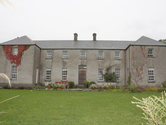 Linsfort Castlecountry house · 476 yd
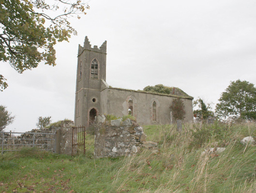 Desertegny Church of Ireland Churchchurch/chapel · 509 yd
 Lisbuck FortFairy fort / ringfort · 633 yd
 Stragill BeachBeach / strand · 1.3 mi
 Castle Ross (Site of)Castle, unclassified · 1.3 mi
 Neds Point FortFort · 2.5 mi
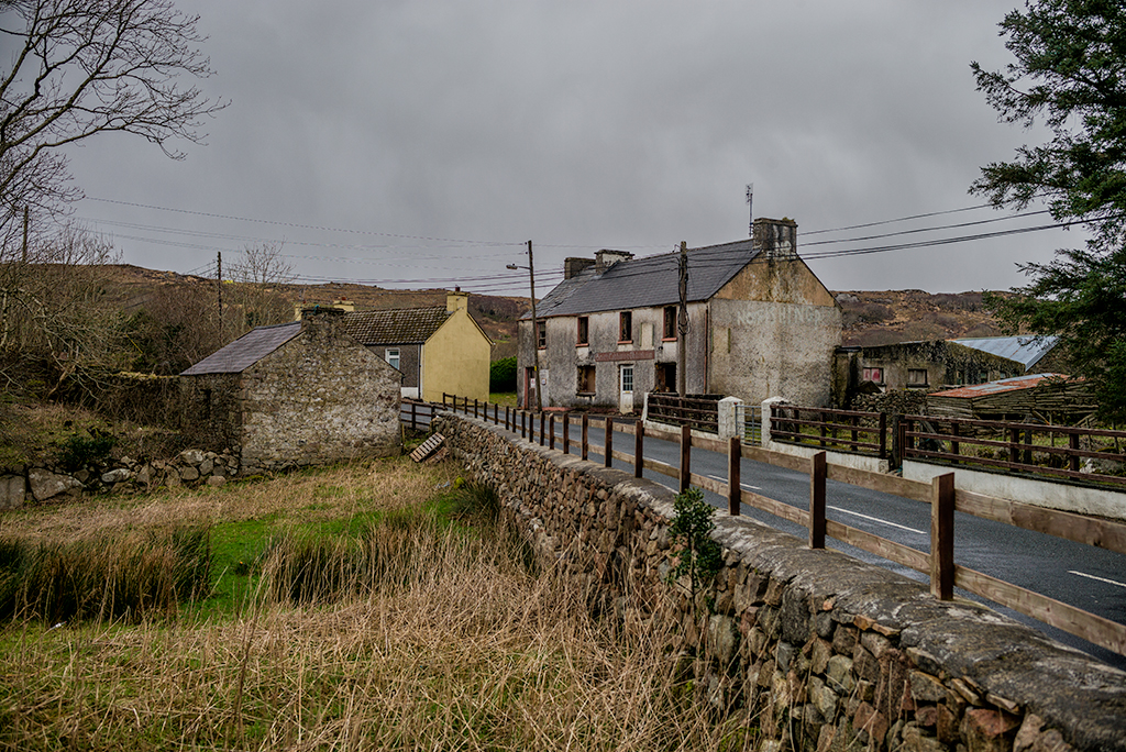 Saldána GalleryGallery · 2.5 mi
 Dunree CentreMuseum · 2.5 mi
 Dunree HeadHeadland · 2.6 mi
 Lady's Bay, BuncranaOfficial bathing water · 3.3 mi
 Wild Atlantic Way:Ballymastocker StrandVisitor information · 3.6 mi
Other information
Photo: Credit not shown in the picture search · Rights wording not checked; contact us if this picture should be removed