What is recorded here
Situated on an esker ridge running E-W in undulating countryside with bog on all sides. A wide flat bottomed trench (Wth 4m; L 5m approx.) which is orientated on a N-S axis and is flanked on either side by a steep sided bank (Wth 3m; int. H 9m; ext. H 3m) of earth and stone. Locally known as the 'Split Hills' because it cuts across an E-W esker ridge. According to local information the site was originally longer but was reduced in length by agricultural improvements. The site could have acted as a defensive linear earthwork belonging to a territorial boundary, this would explain why it cuts through an esker which would have acted as a natural roadway across the marshy terrain.
The above description is derived from the published 'Archaeological Inventory of County Offaly' (Dublin: Stationery Office, 1997). In certain instances the entries have been revised and updated in the light of recent research.
Date of upload: 23 May 2011
The monument record does not grant public access. Check the route and ask the landowner before entering private land.
- What survives
- Recorded monument
Places near here
 Enclosure in ClonfinloughEnclosure · 491 yd
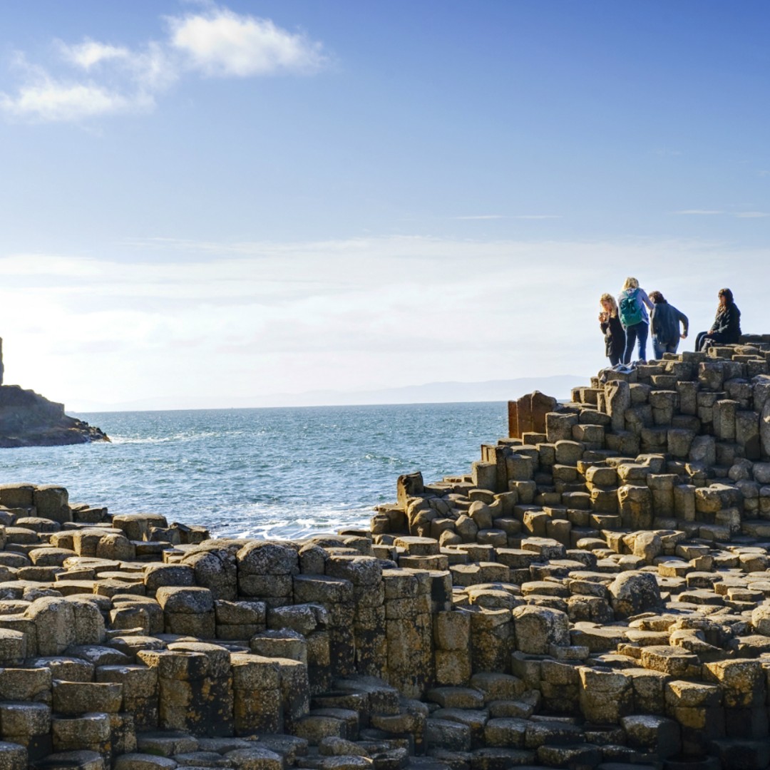 Causeway in TullaghbegCauseway · 524 yd
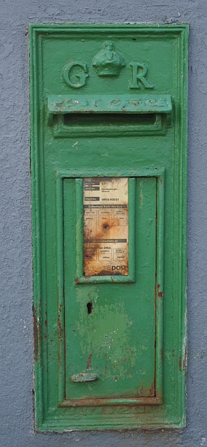 post boxpost box · 1181 yd
 RoadRoad, road/trackway · 1645 yd
 Graveyard in ClonmacnoiseGraveyard · 1.5 mi
 ClonmacnoiseMuseum · 1.5 mi
 Castle or Bishops PalaceCastle, Anglo-Norman masonry castle · 1.6 mi
 HawthornHawthorn · 1.8 mi
 Leitra CastleCastle, unclassified · 2.5 mi
 Devenish IslandIsland · 3.3 mi
 Endrim HillMountain / peak · 4.3 mi
 Long IslandIsland · 4.7 mi