What is recorded here
Limekiln Wood is shown as a wood on the public map of Bath and North East Somerset. The saved point is the map point or the centre of its mapped shape.
This does not grant access. Check current paths, opening conditions and ownership before entering.
Places near here
 The Lodge and Gatepiers at South, at Entrance to Claverton ManorListed building · 281 yd
 Standing Stone on Claverton Down, BathAncient stone or rock art · 493 yd
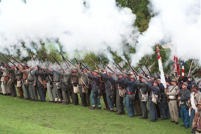 Civil War reenactment at American Museum, BathHeritage place · 539 yd
 Claverton Manor (the American Museum) and Screen Walls to North and SouthListed building · 603 yd
 Hengrove WoodWood · 892 yd
 Claverton Village from Warleigh WoodForest or wood · 1046 yd
 Cave in Bushy NorwoodCave or cavern · 1344 yd
 Bathampton DownMountain / peak · 1504 yd
 Sham Castle, BathCastle, fort or tower · 1.0 mi
 Ralph Allen’s Sham CastleCastle · 1.0 mi
 Widcombe Baptist ChurchVisitor information · 1.5 mi
 Combe Down TunnelVisitor information · 1.6 mi