What is recorded here
No visible mound remains in Graan, County Fermanagh, yet light scanning revealed a possible rath hidden beneath the land. Whether people lived there, fled there or simply passed beside it is no longer certain. The shape survived while memory left it behind.
The official Northern Ireland record identifies this as LiDAR site- Possible rath. Recorded period: UNCERTAIN. The official map point was placed at the centre of the recorded archaeological site from the source map reference.
The monument record does not grant public access. Check the route and ask the landowner before entering private land.
- What survives
- Recorded monument
Places near here
 BURIAL GROUND/ ENCLOSURE in MagheradunbarBURIAL GROUND/ ENCLOSURE · 539 yd
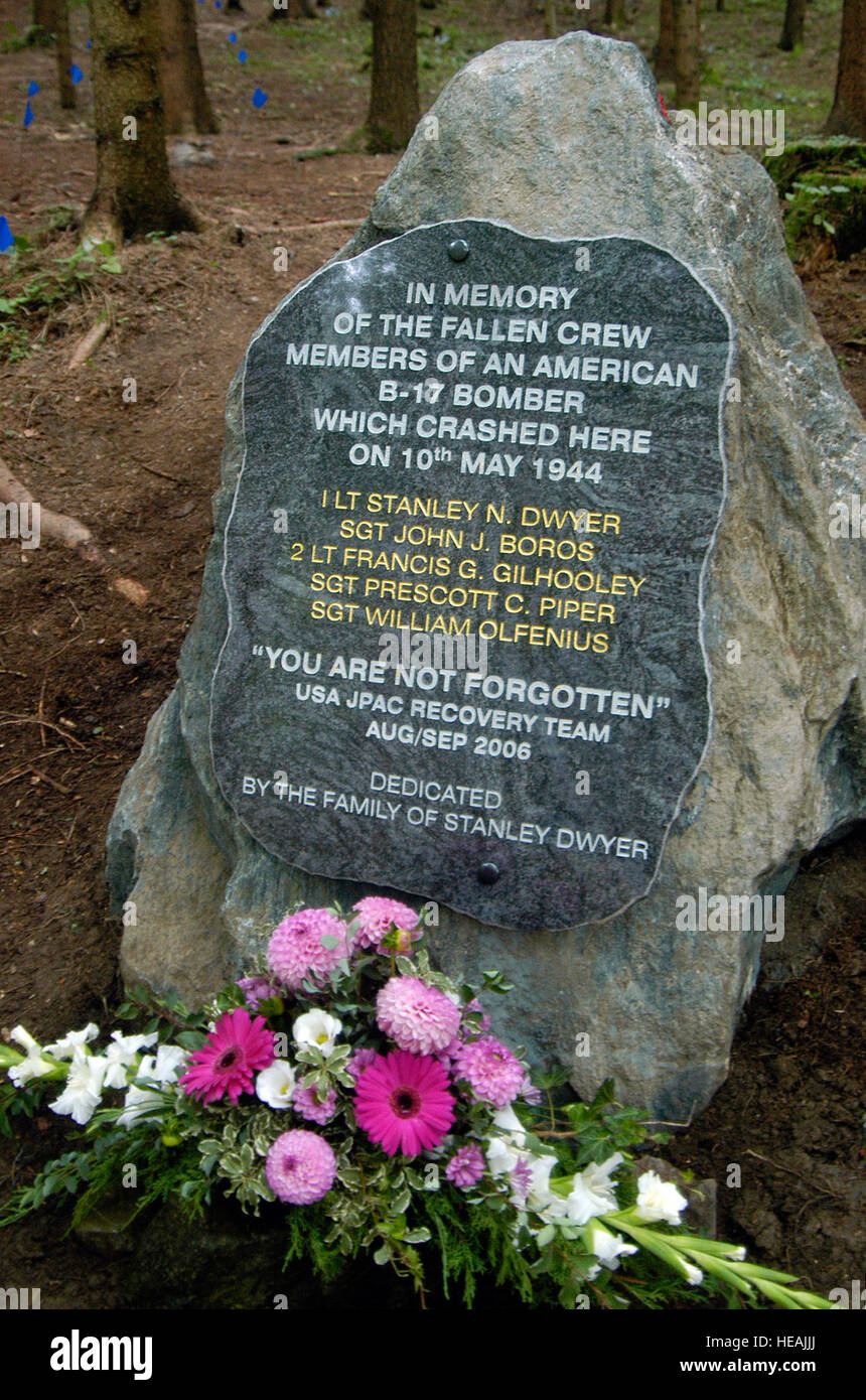 B17 Crash MemorialMonument · 568 yd
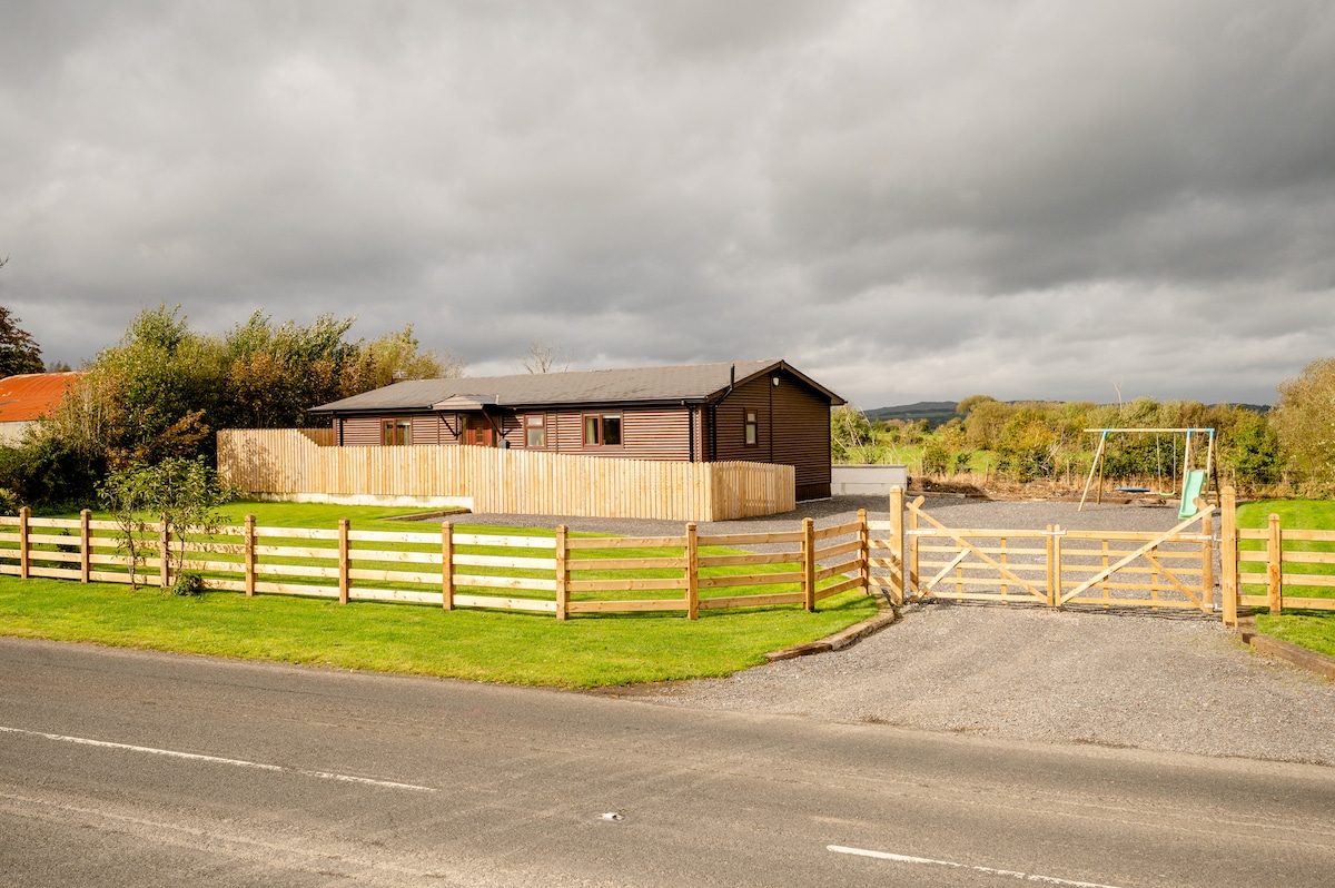 ENCLOSURE in CavanakeeryENCLOSURE · 941 yd
 FORTIFIED HOUSE (unlocated) in DrumbooryFORTIFIED HOUSE (unlocated) · 1614 yd
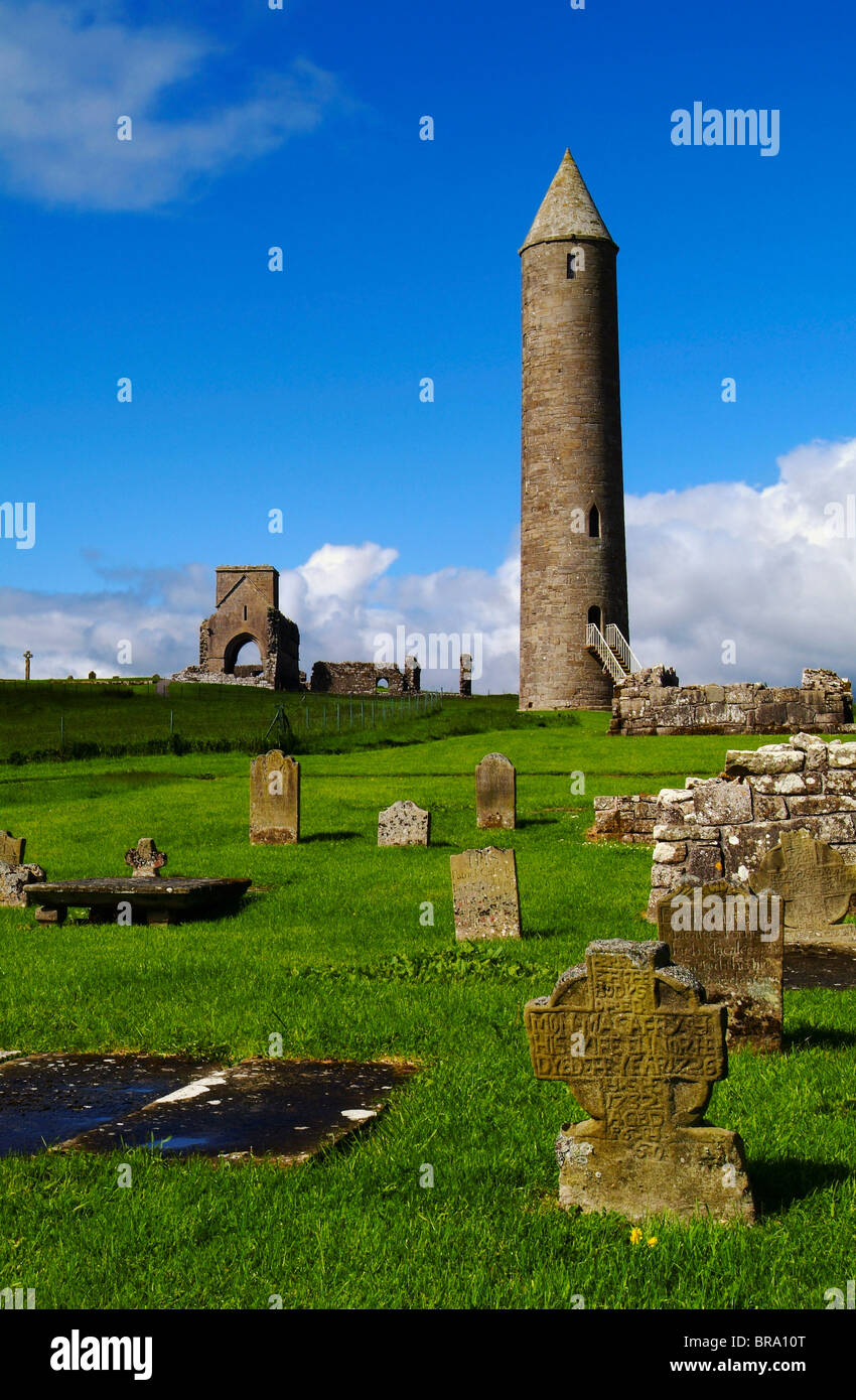
 MONASTERY; AUGUSTINIAN ABBEY; ROUND TOWERS; HOLY WELL: DEVENISH; CULDEE CHURCH & ST MARY'S ABBEY in Devenish (island)MONASTERY; AUGUSTINIAN ABBEY; ROUND TOWERS; HOLY WELL: DEVENISH; CULDEE CHURCH & ST MARY'S ABBEY · 1.3 mi
 Portora CastleCastle · 1.3 mi
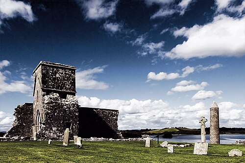 Devenish IslandIsland · 1.3 mi
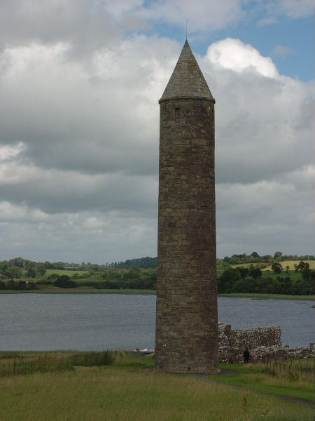 Devenish Island Round TowerViewpoint · 1.3 mi
 Teampull MórRuins · 1.4 mi
 Devenish Monastic Site MuseumMuseum · 1.4 mi
 Trasna IslandIsland · 1.6 mi
 Car IslandIsland · 1.8 mi