What is recorded here
Legan Abbey and Tower vanished before human memory, leaving only a faint twenty-metre circle on an old map and no stone, timber or ditch for a curious hand to touch. Benedictine monks may have prayed there after 1204, but the earth kept their footprint secret while the world redrew its borders around the gap. What is certain is the absence: a religious house so small or so forgotten that even its own name floats above empty ground.
Though marked with broken circle (diam. c. 20m) and named 'Legan Abbey and Tower' on 1842 OS 6-inch map, exact location of this Benedictine abbey is in doubt (see Hurst 1925, 15-20). According to Gwynn and Hadcock (1988, 107), 'a small non-conventual priory....its date must be 1204 or later'. No visible surface trace.
The above description is derived from the published 'Archaeological Inventory of County Cork. Volume 2: East and South Cork' (Dublin: Stationery Office, 1994). In certain instances the entries have been revised and updated in the light of recent research.
Date of upload/revision: 14 January 2009
The monument record does not grant public access. Check the route and ask the landowner before entering private land.
- What survives
- Recorded monument
Places near here
 Castle Househouse · 66 yd
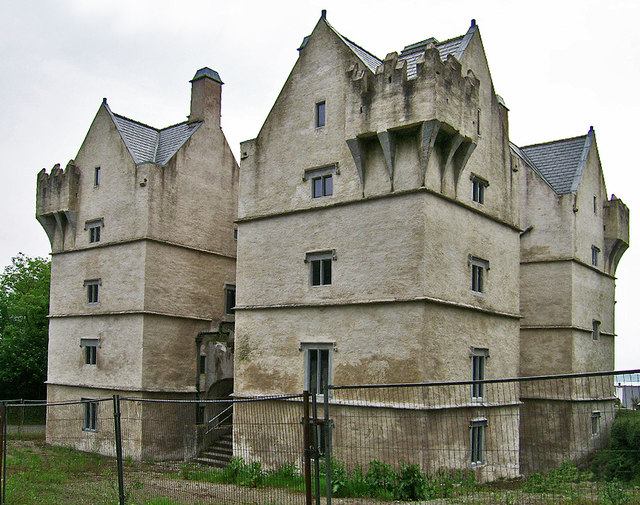 Monkstown Castlecastle/fortified house · 86 yd
 IndicatedFairy fort / earthen ringfort · 1027 yd
 Bee-boles in Ballynoe (kerrycurrihy By.)Bee-boles · 1.1 mi
 HaulbowlineIslet · 1.8 mi
 Cobh Heritage CentreMuseum · 1.8 mi
 Scots ChurchMemorial · 1.8 mi
 Cobh MuseumMuseum · 1.8 mi
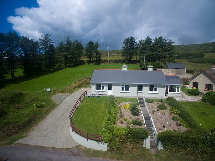 Carrig HouseMemorial · 1.8 mi
 Rocky IslandIslet · 1.8 mi
 Cork Red Marble SeamNamed rock · 1.8 mi
 Rochestown WoodWood · 2.6 mi