What is recorded here
League Cemetery occupies the level top and sloping side of a ridge in County Mayo, where a walled enclosure has held dead people since at least the eighteenth century. Long grass, yew trees and a thick scrub corner now hide much of the ground, but formal headstones and older uninscribed markers still break through the green. The place may have grown around a circular enclosure, a worn stone and a cross-cut marker already set into the ridge, suggesting that burial came later to a spot the community had treated as sacred for generations.
Encompassing the level top and E-facing slope of a N−S ridge.
A roughly square area (c. 30m N−S; c. 30m E−W), outlined by a dashed line, is shown on the 1837 OS 6-inch map. This may indicate the burial ground, although it is not named as such; at this date it lay within the bounds of Ardoughan townland. On the 1930 edition a much larger subrectangular walled area (c. 110m NNW-SSE; c. 145m NNE-SSW) is indicated and named ‘League Cemetery’; by this date the townland boundaries have undergone an adjustment so that burial ground currently lies within Kilmoremoy townland.
The burial ground is enclosed by a mortared stone wall. An access road, branching from the main Ballina-Killala road, leads to the entrance, which is located on the E side. The road continues into the burial ground, extending W parallel to the S wall, extending the full length of the wall. A modern graveyard now borders the NE side of the burial ground.
The enclosed space incorporates several changes of level, reflecting the natural fall of the ridge slope, with some graves on level terraces and others on sloping ground. The majority of the graves are marked by formal headstones or graveslabs, dating to the 18th and 19th century. A few simple, uninscribed stone grave-markers are also visible. Long grass, overgrowth and a scattering of yew trees cover much of the area, with an impenetrable thicket of scrub obscuring the NW corner.
A circular enclosure (MA030-051005-) is located in the SW quadrant, at the highest point within the burial ground, which corresponds roughly with the area outlined by a dashed line on the 1838 OS 6-inch map. A bullaun stone (MA030-051006-) and a cross-inscribed stone (MA030-05107-) are associated with the enclosure. A medieval church (MA030-05101-) is located 50m E of the burial ground, enclosed within Kilmoremoy graveyard (MA030-05102-).
Compiled by: Jane O’Shaughnessy
Date of upload: 2 February 2021
The monument record does not grant public access. Check the route and ask the landowner before entering private land.
- What survives
- Recorded monument
Places near here
 Enclosure in KilmoremoyEnclosure · 40 yd
 Church in ruinsChurch · 189 yd
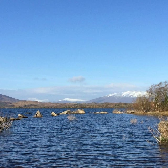 Cross in Ballina (tirawley By.)Cross · 328 yd
 Battle of Ballinabattle · 679 yd
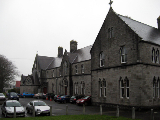 Convent of the Immaculate Conceptionconvent/nunnery · 745 ydHumbert MonumentMemorial · 1167 yd
 CastleCastle, unclassified · 1445 yd
 Belleck CastleCastle, unclassified · 1.0 mi
 The Marshall Doran CollectionGallery · 1.2 mi
 Belleek WoodsWood · 1.3 mi
 FloretteWreck · 1.5 mi
 Rinphilip PointHeadland · 2.5 mi