What is recorded here
The official Northern Ireland record identifies this as LANDSCAPE FEATURE - tree ring. Recorded period: UNCERTAIN. The official map point was placed at the centre of the recorded archaeological site from the source map reference.
The monument record does not grant public access. Check the route and ask the landowner before entering private land.
- What survives
- Recorded monument
Places near here
 The Annesley Walled GardenVisitor information · 262 yd
 Castlewellan LakeVisitor information · 417 yd
 Tea HouseCastle · 789 yd
 St. Malachy's RC ChurchChurch · 807 yd
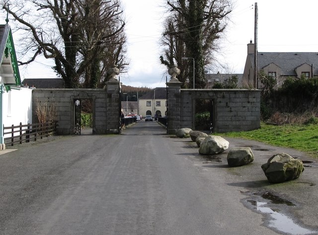 Historic Settlement Castlewellan in CastlewellanHistoric Settlement Castlewellan · 827 yd
 Ice HouseCastle · 925 yd
 SlievenaslatMountain / peak · 995 yd
 CRANNOG in Castlewellan Lake in ClarkillCRANNOG in Castlewellan Lake · 1382 yd
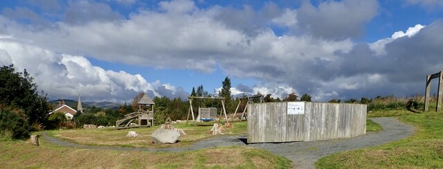 Bunkers Hill Play TrailWalking route · 1454 yd
 Cypress Pond CollectionWood · 1514 yd
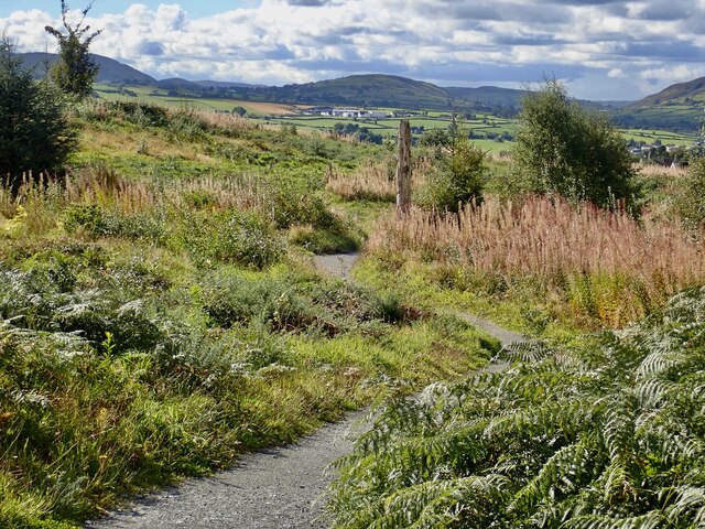 Bunkers Hill Walk/Cycle TrailWalking route · 1593 yd
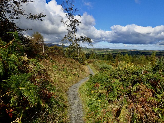 Bunkers HillMountain / peak · 1717 yd