What is recorded here
The official Northern Ireland record identifies this as LANDSCAPE FEATURE. Recorded period: MODERN. The official map point was placed at the centre of the recorded archaeological site from the source map reference.
The monument record does not grant public access. Check the route and ask the landowner before entering private land.
- What survives
- Recorded monument
Places near here
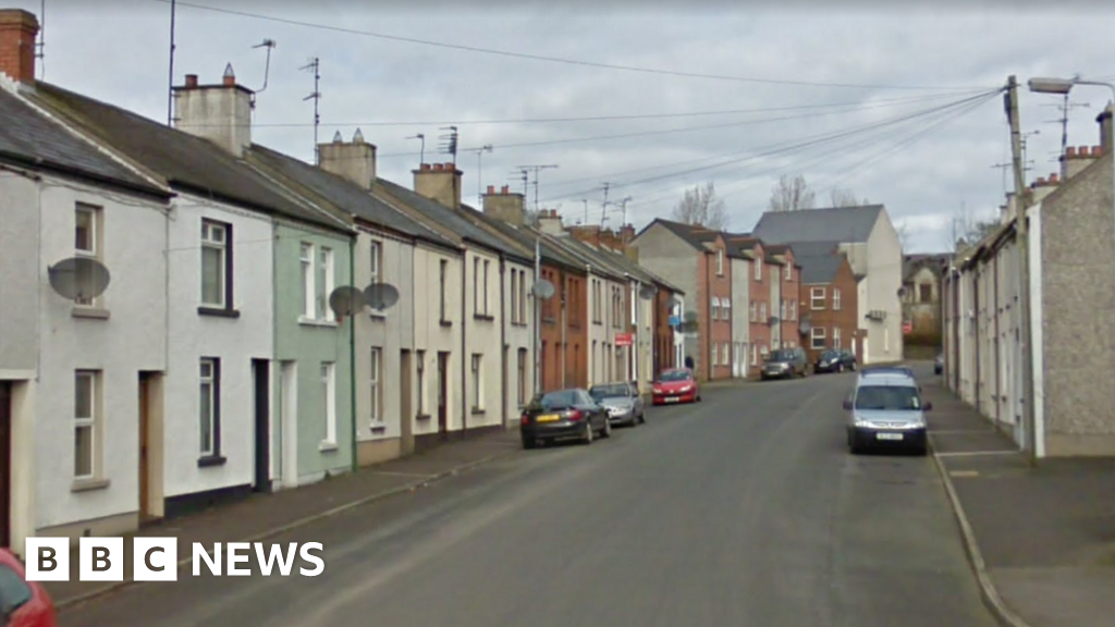 ENCLOSURE in BallymoneyENCLOSURE · 317 yd
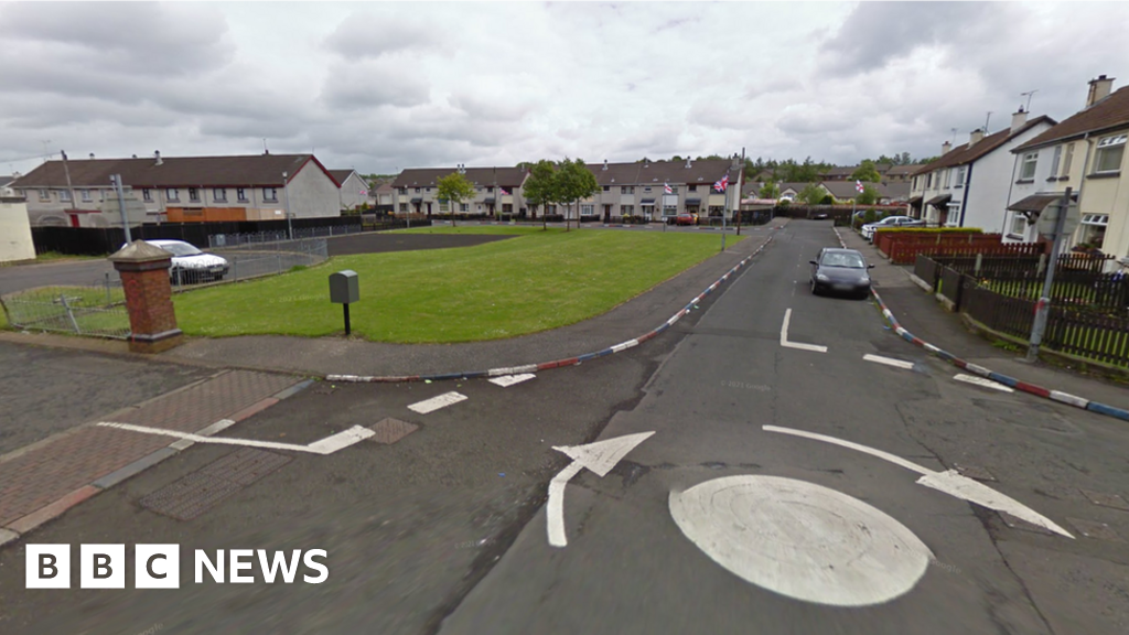 ENCLOSUREENCLOSURE, rath? · 1267 yd
 Seapatrick Parish ChurchChurch · 1521 yd
 Non-Subscribing ChurchChurch · 1582 yd
 Downshire BridgeMemorial · 1.1 mi
 FE McWilliam Gallery and StudioGallery · 2.4 mi
 CHURCH (Listed) & GRAVEYARD in MagherallyCHURCH (Listed) & GRAVEYARD · 2.5 mi
 Game of Thrones Studio TourHeritage attraction · 2.8 mi
 Gilford CastleCastle · 3.5 mi
 Dunbarton HouseCastle · 3.9 mi
 Waringstown Red WoodsForest · 4.9 mi
 Newry Canal WayWalking route · 6.3 mi