What is recorded here
On the top of the E end of a heather-covered ridge, overlooking Glenbeigh to the E and with excellent views in all directions. A roughly circular cairn (12m N-S; 11.2m E-W; H 1m), comprised of loose stones of various sizes. It has a circular depression (diam. c. 3.2m; D c. 0.5m) outlined by rough stones, some of which are laid horizontally up to three courses high. This feature appears to be a shelter built in recent times by hillwalkers. Large slabs, which were noted along the perimeter of the cairn, appear to have slipped outwards, especially along the SW arc.
The above description is derived from the published 'Archaeological Inventory of County Kerry. Volume I: South-West Kerry' (Dublin: Stationery Office, 2009). In certain instances the entries have been revised and updated in the light of recent research.
Date of upload: 30 May 2011
A roughly circular cairn, likely dating to the Bronze Age, possibly serving as a funerary or ceremonial monument. Its elevated position suggests it may have had ritual or territorial significance in the landscape.
The monument record does not grant public access. Check the route and ask the landowner before entering private land.
- What survives
- Recorded monument
Places near here
 CaveMan-made underground passage · 518 yd
 ToberykeelHoly well · 520 yd
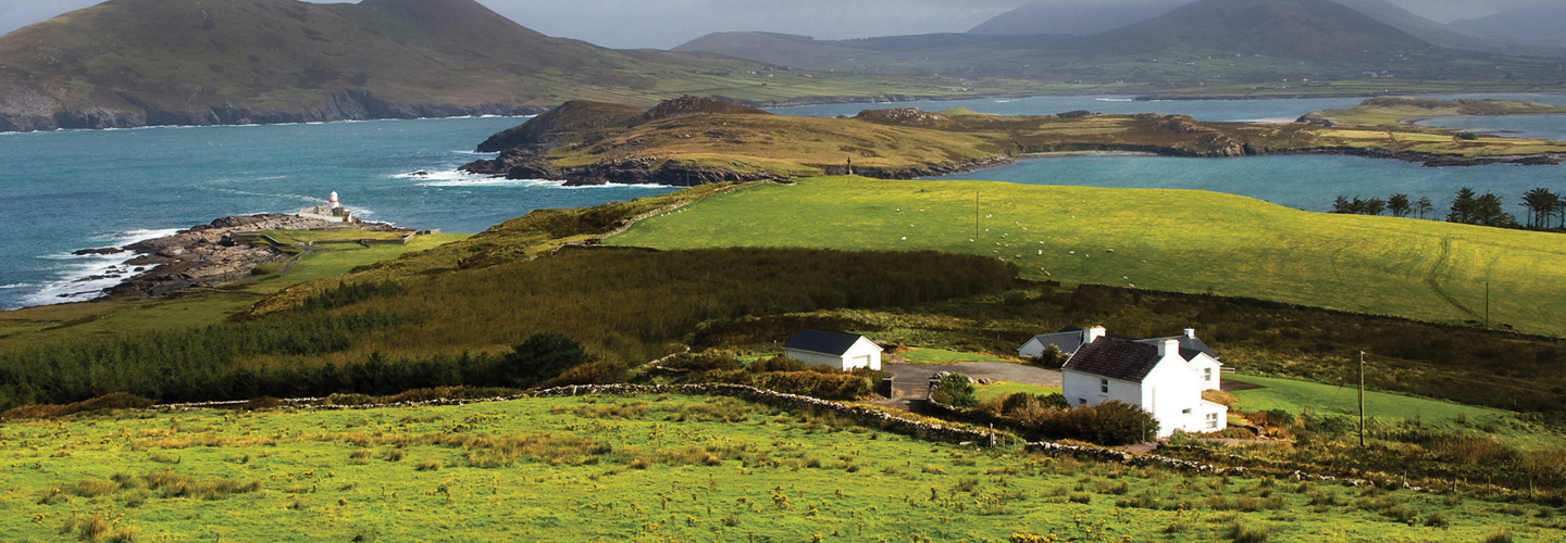 LaghtsheeMountain / peak · 642 yd
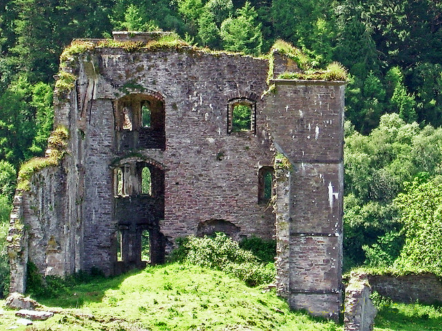 Glenbeigh Towerscountry house · 884 yd
 Glenbeigh Church (Glanbehy)church/chapel · 911 yd
 Rossbeigh BeachBeach / strand · 1.4 mi
 SeefinMountain / peak · 1.8 mi
 Lough Nambrackdarrig Nature ReserveNature reserve · 3.2 mi
 Kerry Bog VillageHeritage attraction · 3.5 mi
 Mountain StageViewpoint · 3.5 mi
 Lough Yganavan Nature ReserveNature reserve · 3.9 mi
 FeaklecallyHeadland · 4.3 mi