What is recorded here
Knoppoge Fort is a subrectangular rocky knoll rising above low-lying marshy ground in County Cork, Ireland. Its flat top hides a man-made underground passage, suggesting the mound served more than a simple boundary marker. O'Mahony called it a tumulus named the cnapogue, preserving a local identity that resists ordinary classification. The earthwork still stands where water and rock meet, inviting curiosity about the people who shaped it.
In low-lying marshy ground. Hachured as circular enclosure on OS 6-inch map (1842), named 'Knoppoge Fort'. Subrectangular rocky knoll (75m NE-SW; 50m NW-SW); terraced (H c. 3.6m; Wth c. 8m) to E and S. Top of mound flat (diam.15m) with Man-made underground passage (CO108-01702-) to E. O'Mahony (1961, 6) refers to site as 'tumulus' called 'the cnapogue'.
The above description is derived from the published 'Archaeological Inventory of County Cork. Volume 1: West Cork' (Dublin: Stationery Office, 1992). In certain instances the entries have been revised and updated in the light of recent research.
Date of upload/revision: 14 January 2009
The monument record does not grant public access. Check the route and ask the landowner before entering private land.
- What survives
- Recorded monument
Places near here
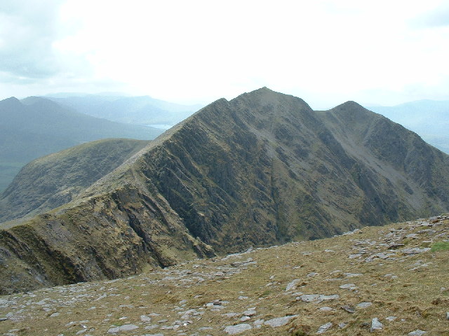 CaveMan-made underground passage · 450 yd
 Kill Burial Gd (Disused)Burial ground · 608 yd
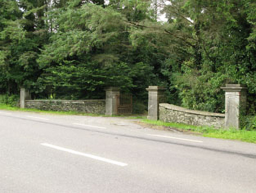 Carrigmore Housegates/railings/walls · 1345 yd
 Irish National Forestry FoundationNature reserve · 1393 yd
 Country house in Manch EastCountry house · 1622 yd
 Castle RockNamed rock · 1.3 mi
 The GlenWood · 2.7 mi
 Ballynacarriga CastleCastle, tower house · 2.9 mi
 Corran HillMountain / peak · 3.1 mi
 OCrowleys Castle (in Ruins)Castle, tower house · 3.5 mi
 Graveyard in Dunmanway NorthGraveyard · 4.9 mi
 Mount GunneryMountain / peak · 5.3 mi