
What is recorded here
Single-arch road bridge over river, built 1893-4[?]; extant 1897. Bypassed, 1950. Part creeper- or ivy-covered tuck pointed snecked rock faced limestone walls with drag edged rock faced cut-limestone stringcourses supporting parapets having lichen-covered drag edged rock faced cut-limestone coping. Single segmental arch with drag edged rock faced limestone ashlar voussoirs. Sited spanning Owennabrockagh River with unkempt banks to river.
A bridge identified as an integral component of the late nineteenth-century civil engineering heritage of County Mayo on account of the connections with the extension of the Mayo Branch of the Midland Great Western Railway (MGWR) line (opened 1894) by the Midland Great Western Railway (MGWR) Company with the architectural value of the composition, one succeeding an adjacent bridge (extant 1838) annotated as "Knocknaboley Bridge" on the first edition of the Ordnance Survey (published 1839), confirmed not only by the rock faced surface finish demonstrating good quality workmanship, but also by the elegant "sweep" of the arch making a pleasing visual statement at a crossing over the Owennabrockagh River: meanwhile, a discreet benchmark remains of additional interest for the connections with cartography and the preparation of maps by the Ordnance Survey (established 1824).
This does not grant access. Most recorded buildings are privately owned; view them only from public ground unless the owner allows entry.
Places near here
 bridgebridge · 18 yd
 monumentmonument · 21 yd
 Enclosure in KnockysprickaunEnclosure · 826 yd
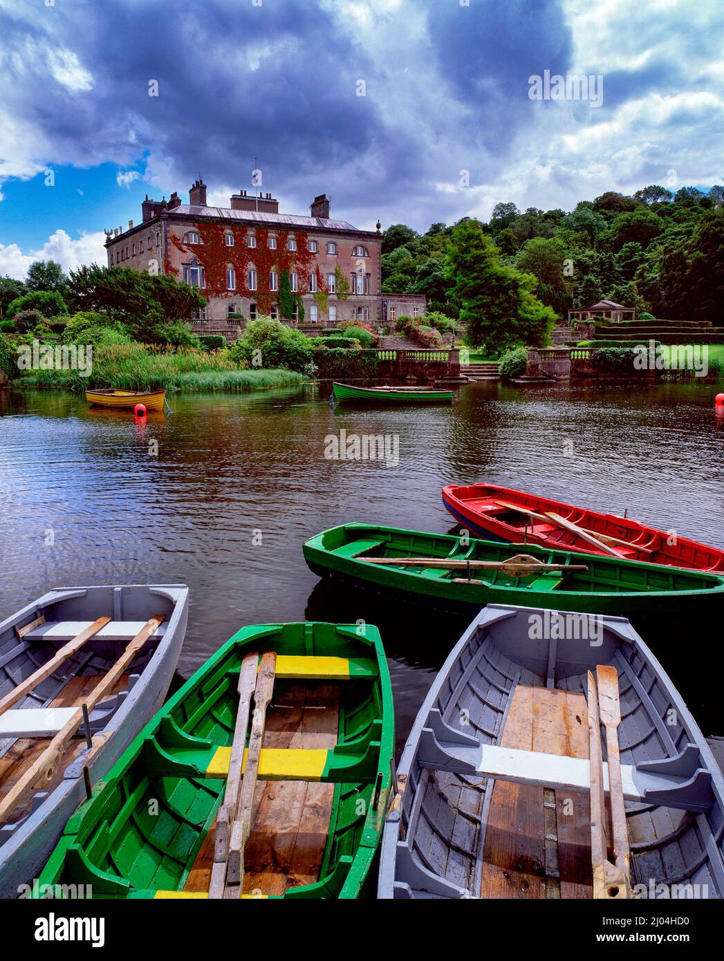 Enclosure in Carrowbeg (burrishoole By., Kilmeena Par.)Enclosure · 1626 yd
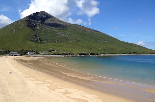 Sixpenny IslandIslet · 2.0 mi
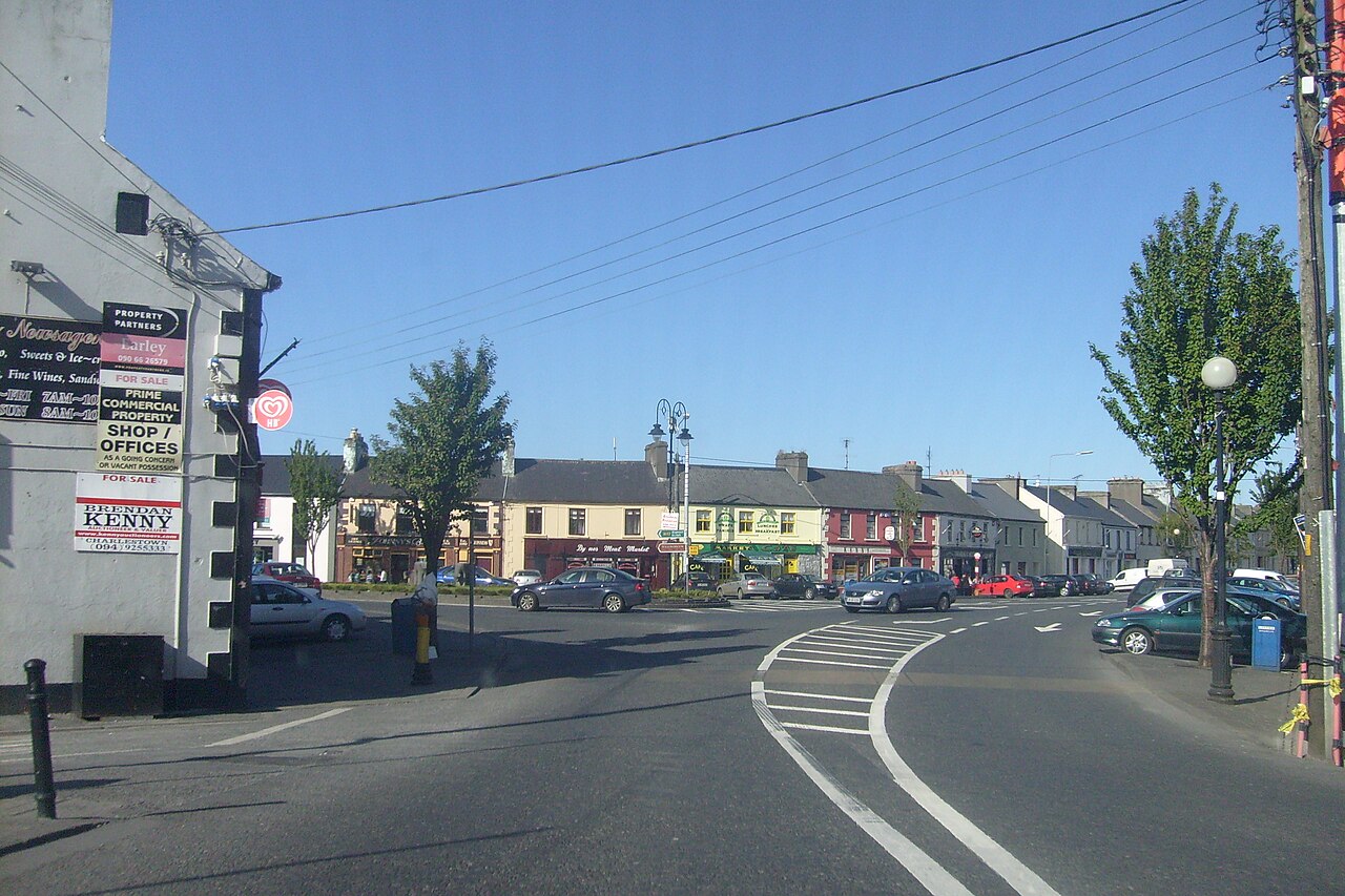 Caslte LeaffyCastle · 2.1 mi
 CastleCastle, unclassified · 2.3 mi
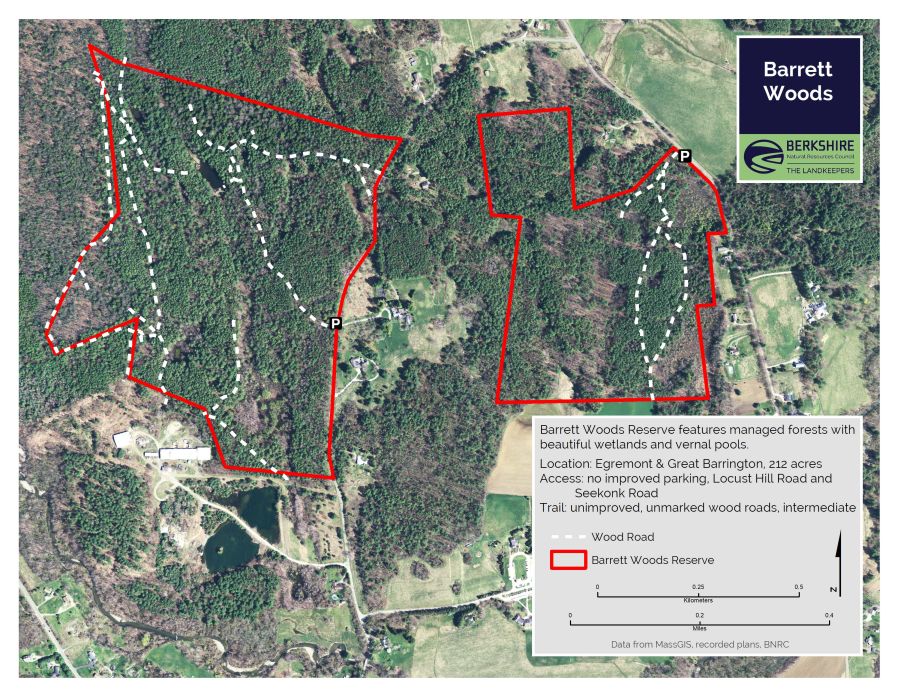 Barrett's WoodWood · 2.7 mi
 Barrett's HillMountain / peak · 2.7 mi
 Garvillaun PointHeadland · 3.1 mi
 Clew Bay Heritage CentreMuseum · 3.2 mi
 Pirate QueenHeritage attraction · 3.2 mi
Other information
Photo: National Inventory of Architectural Heritage · Website use allowed for educational or private purposes with source credit