
What is recorded here
Roland Savage built Kirkistown Castle in 1622 beside a ninth-century round tower, creating a three-storey house that remained occupied until 1731. Later Gothic changes and abandoned repairs left it with broken windows and a partial roof, returning the castle to the elements. The surviving bawn wall and flanker towers still mark the angle where human ambition met the patience of County Down.
Kirkistown Castle is recorded as a castle in County Down. Its open map record supplies this location and any linked names or public references.
Kirkistown Castle was built in the 17th century by the Stewart family, who were prominent in the area during the Plantation of Ulster. The castle is remembered as a symbol of early colonial architecture and land ownership in County Down.
Places near here
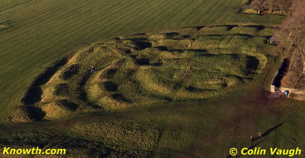 AP Cropmark- Possible enclosure (rath?) in Ballycran MoreAP Cropmark- Possible enclosure (rath?) · 1.3 mi
 AP CropmarkAP Cropmark, Possible oval shaped enclosure · 1.3 mi
 FORTIFIED HOUSE & BAWN: THE WHITE HOUSE in BallyspurgeFORTIFIED HOUSE & BAWN: THE WHITE HOUSE · 1.8 mi
 CHURCH (in ruins) in CastleboyCHURCH (in ruins) · 1.9 mi
 TOWER-HOUSE: CASTLEBOY in CastleboyTOWER-HOUSE: CASTLEBOY · 1.9 mi
 The Echlinville DistilleryHeritage attraction · 2.5 mi
 Windmill HillMountain / peak · 2.9 mi
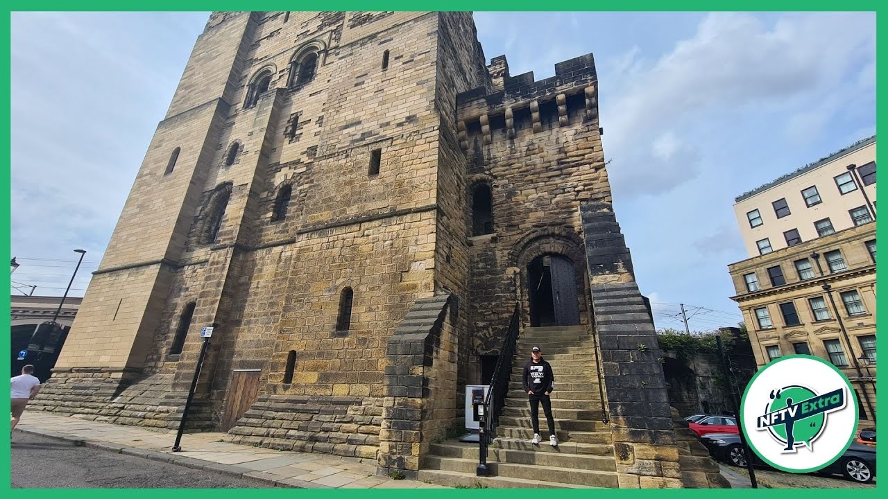 CASTLE in NewcastleCASTLE · 3.0 mi
 Pherson's IslandIsland · 3.1 mi
 CHURCH & GRAVEYARD & COFFIN LIDS (2): ARDKEEN CHURCH in ArdkeenCHURCH & GRAVEYARD & COFFIN LIDS (2): ARDKEEN CHURCH · 3.2 mi
 Burr PointHeadland · 3.3 mi
 Horse IslandIsland · 3.4 mi
Other information
Photo: Aubrey Dale · CC BY-SA 2.0