
What is recorded here
Kilvinane Burial Ground is a disused rectangular area in County Cork pasture, marked on the 1842 Ordnance Survey map and partially enclosed by an earthen bank. It measures twenty-two metres north-south and twenty-four metres east-west, with possible grave markers still visible beneath the grass. The site has fallen quiet, but the shape and boundary remain, holding the names and lives that once gathered there.
In pasture. Marked 'Kilvinane Burial Ground' on OS 6-inch map (1842). Rectangular area (22m N-S; 24m E-W) partially enclosed by earthen bank (stone faced externally) to S and W; low scarp to N and E. Some possible grave markers noted.
The above description is derived from the published 'Archaeological Inventory of County Cork. Volume 1: West Cork' (Dublin: Stationery Office, 1992). In certain instances the entries have been revised and updated in the light of recent research.
Date of upload/revision: 14 January 2009
The monument record does not grant public access. Check the route and ask the landowner before entering private land.
- What survives
- Recorded monument
Places near here
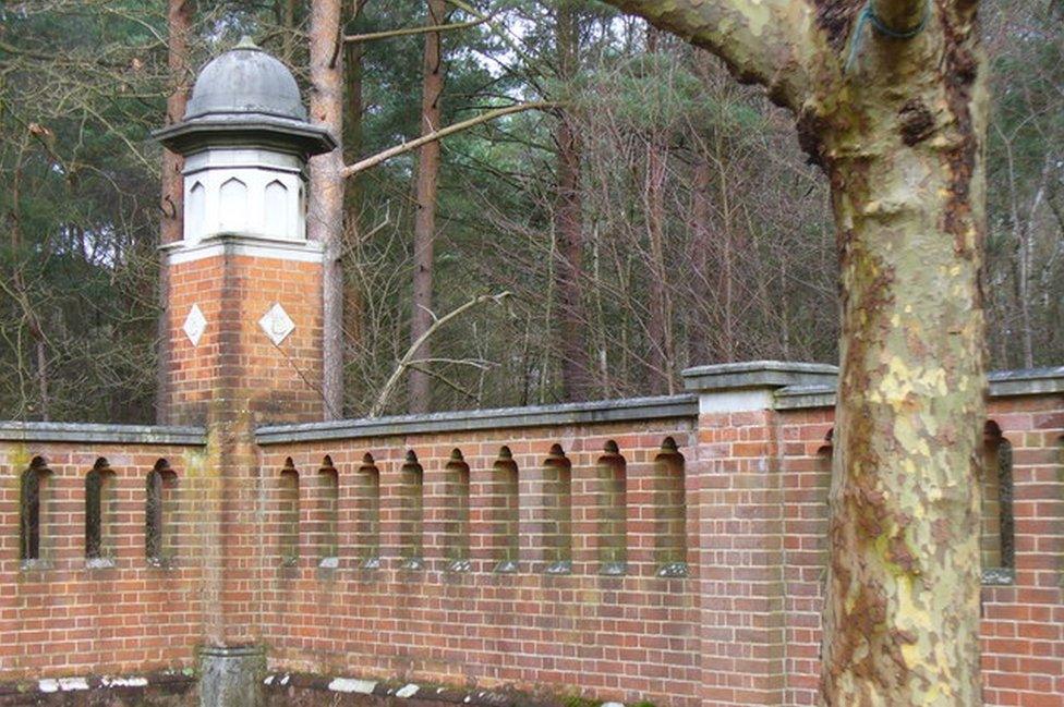 Burial ground in BuddrimeenBurial ground · 793 yd
 Church in Grillagh (carbery East (e.d) By., Ballymoney Par.)Church · 933 yd
 IndicatedFairy fort / earthen ringfort · 1349 yd
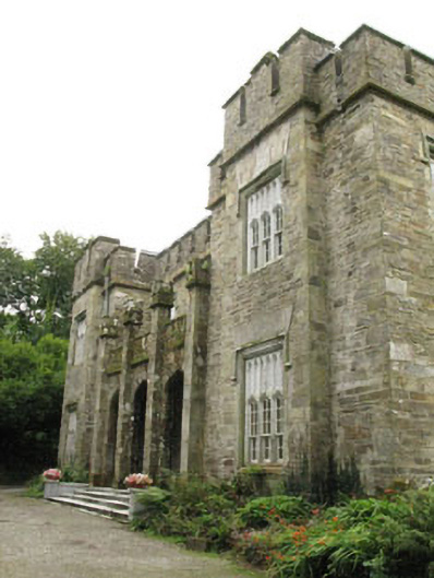 Kilcascan Castlecountry house · 1665 yd
 Ballynacarriga CastleCastle, tower house · 1.2 mi
 Irish National Forestry FoundationNature reserve · 1.6 mi
 Corran HillMountain / peak · 2.0 mi
 Ballinvard CastleCastle · 2.4 mi
 The GlenWood · 2.8 mi
 Castle RockNamed rock · 3.6 mi
 Graveyard in Dunmanway NorthGraveyard · 4.6 mi
 Dunmanway Heritage CentreVisitor information · 4.8 mi
Other information
Photo: Credit not shown in the picture search · Rights wording not checked; contact us if this picture should be removed