
What is recorded here
Situated on a low N-S ridge and within Carrick-on-Bannow village, c. 100m E of the N-S Main Street. Archaeological testing (04E0855) identified and partly excavated a limekiln. The kiln was circular (diam. 3.5m; D 1.65m) and lined with a clay and crushed Old Red Sandstone mix that had baked to a hard surface. It contained burnt limestone from its last firing. The flue (L 5.04m; Wth 1.35-4.35m; max. D 1.2m) was to the S and a perfectly preserved stoke-hole (Wth 0.63m; H 0.66m; T 0.51m) connected with the kiln. The few artefacts recovered and the context suggests an 18th century date. (Ó Drisceoil 2004-05; 2007)
Compiled by: Michael Moore
Date of upload: 19 August, 2013
Amended: 11 Dec. 2013
The monument record does not grant public access. Check the route and ask the landowner before entering private land.
- What survives
- Recorded monument
Places near here
 Carrig-On-BannowVisitor information · 156 yd
 1798 MemorialMemorial · 216 yd
 Font (present location) in DanescastleFont (present location) · 227 yd
 CrossesCross (present location) · 232 yd
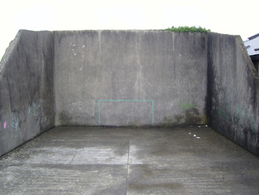 handball alleyhandball alley · 265 yd
 Church (Site of)Ruins · 517 yd
 Danes Castle (in ruins)Castle, tower house · 1383 yd
 Coolhull CastleHouse, fortified house · 1.1 mi
 Cullenstown StrandBeach / strand · 1.6 mi
 Ballymadder PointHeadland · 1.9 mi
 Blackhall StrandBeach / strand · 1.9 mi
 Bridges ChamberCave · 2.1 mi
Other information
Photo: Credit not shown in the picture search · Rights wording not checked; contact us if this picture should be removed