
What is recorded here
Annotated ‘L.K.’ on the 1863 edition of the OS 25-inch map where a square-shaped kiln is depicted standing immediately to the west of a laneway leading to a disused quarry located 50m to the south. River Liffey forming the county boundary with Kildare 40m to the west. Limekiln not depicted on the 1837 edition of the Ordnance Survey six-inch map. Not visible on the 2013-18 MapGenie orthoimage. Area where limekiln was located is now a green area of landscaping.
Compiled by: Caimin O'Brien
Date of Compilation: 26 November 2025
The monument record does not grant public access. Check the route and ask the landowner before entering private land.
- What survives
- Recorded monument
Places near here
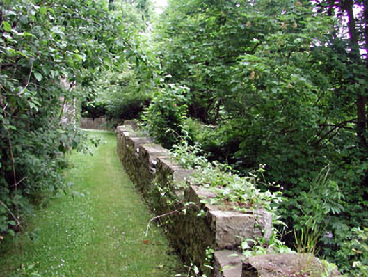 Leixlip Castlegarden structure misc · 81 yd
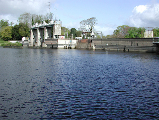 Leixlip Hydro Power Stationdam/reservoir/basin · 132 yd
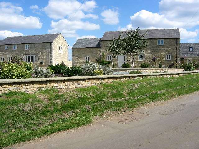 BarrowBarrow, ring-barrow · 191 yd
 Font in LeixlipFont · 217 yd
 Leixlip MonumentMemorial · 268 yd
 Guinness' BreweryMemorial · 368 yd
 Squirrel WoodWood · 1001 yd
 Sli Na Sláinte Leixlip SliWalking route · 1191 yd
 Sli Na Sláinte Leixlip Lucan DesmenseWalking route · 1429 yd
 The Wonderful BarnHeritage attraction · 1496 yd
 Lucan DemenseHeritage attraction · 1596 yd
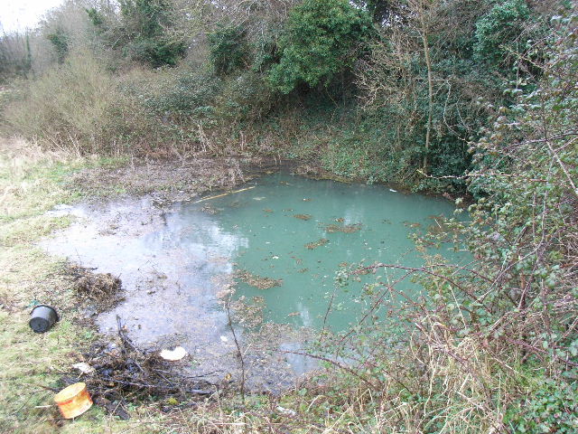 Leixlip Spa - SpringSpring · 1659 yd
Other information
Photo: Credit not shown in the picture search · Rights wording not checked; contact us if this picture should be removed