What is recorded here
Situated on a level platform on a SSE-facing slope, partly buried in soil, grass and fern. A rectangular stone structure (int. dims. 1.8m WSW-ENE; 1.5m SSE-NNW). One course of set stones (c. 0.4m x 0.5m; H c. 0.25m) remains visible at SW, SE and E and there is a gap (0.8m) at SSE. This may have been a limekiln as there are some blackened stones along the N side.
Compiled by: Mary Tunney
Date of upload: 11 July 2016
The monument record does not grant public access. Check the route and ask the landowner before entering private land.
- What survives
- Recorded monument
Places near here
 Enclosure in BallyhinchEnclosure · 33 yd
 church/chapelchurch/chapel · 1.5 mi
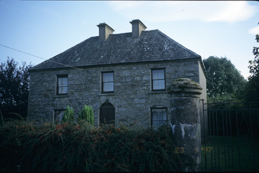 garda station/constabulary barracksgarda station/constabulary barracks · 1.8 mi
 Manuss Castle (in Ruins)Castle, unclassified · 2.4 mi
 Pedunculate OakPedunculate Oak · 2.7 mi
 Cloonoolia BayBay · 2.8 mi
 The MazeHeritage attraction · 2.9 mi
 PollcolmanShrine · 2.9 mi
 Castle (Site of)Castle, unclassified · 3.0 mi
 Church BayBay · 3.1 mi
 Gorteeny IslandIslet · 3.3 mi
 Dog IslandIslet · 3.3 mi