What is recorded here
On an E-facing slope in pasture. Excavated in 2006 in advance of the N9/N10 Waterford to Kilcullen Road Improvement Scheme (Excavation licence no. E2498). A kiln with a roughly oval or trapezoidal plan (L 2.6m NW-SE; Wth 1.9m at the fire spot, 0.8m below the drying chamber). A sample of hulled barley was radiocarbon dated to AD 430-650 (Poz-26964). A burnt mound (KK043-094----) lay 9m to the NW. (Wren 2009, 259, no. 1017; 2010)
Compiled by: Mary Tunney
Date of upload: 7 October 2013
The monument record does not grant public access. Check the route and ask the landowner before entering private land.
- What survives
- Recorded monument
Places near here
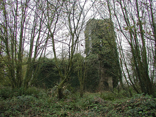 Gaulskill Churchchurch/chapel · 1195 yd
 Church in BallynamorahanChurch · 1200 yd
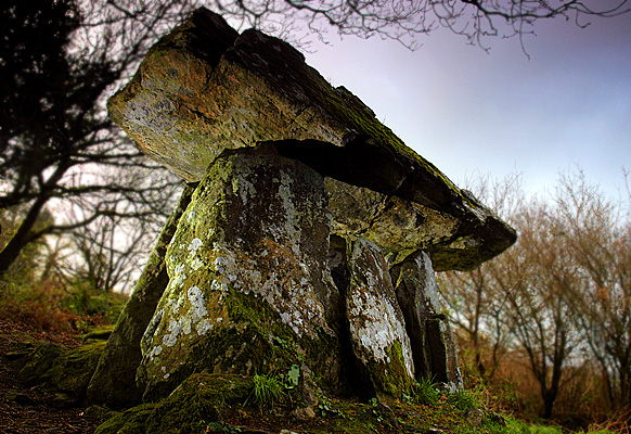 Enclosure in Gaulstown (ida By., Rossinan Ed)Enclosure · 1709 yd
 TubbereenanHoly well · 1.1 mi
 CastleCastle, unclassified · 1.2 mi
 Graul Burkes Castle (Site of)Castle, unclassified · 1.2 mi
 Native Woodland Trust:Grace Dieu ReserveWood · 3.0 mi
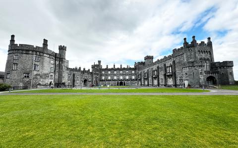 Ballynaboley WoodForest · 3.4 mi
 Mount Congreve GardensHeritage attraction · 5.5 mi
 Waterford & Suir Valley RailwayHeritage attraction · 6.1 mi
 Donnell's HillMountain / peak · 8.5 mi
 Tower HillMountain / peak · 8.8 mi